The Ministry of External Affairs has flagged serious cartographic anomalies in a new UN world map that depicts Arunachal Pradesh and Aksai Chin as separate regions. New Delhi has reaffirmed that its support for UN map resolutions does not equate to acceptance of inaccurate territorial boundaries.
- India has officially protested a UN map depicting Arunachal Pradesh and Aksai Chin as separate regions.
- The Ministry of External Affairs (MEA) clarified that supporting 'equal-area' map resolutions is not an endorsement of specific political boundaries.
- India maintains that its sovereign territory is non-negotiable and must be depicted as per official government maps.
The Government of India has lodged a strong protest with the United Nations after a newly released world map displayed Arunachal Pradesh and Aksai Chin as separate entities situated between the claim lines of India and China. This development has sparked a diplomatic row, as New Delhi considers Arunachal Pradesh an integral part of its territory and maintains that Aksai Chin is part of the Union Territory of Ladakh.
The Ministry of External Affairs (MEA) has formally taken up these "anomalies" with the concerned officials at the UN. The timing of this map's release is particularly sensitive, coming shortly after India voted in favor of a UN General Assembly resolution aimed at promoting equal-area maps. The Indian government has been quick to distance its support for cartographic principles from the acceptance of any specific political map.
Why This Matters
BozokMedia analysis shows that this incident highlights the delicate intersection of technical cartography and geopolitical sovereignty. For a global body like the UN, a map is rarely just a drawing; it is often perceived as a tacit endorsement of territorial claims. By flagging these anomalies immediately, India is signaling to the international community that technical shifts in map projections (like moving from Mercator to Equal Earth) cannot be used as a cover for altering sovereign boundaries.
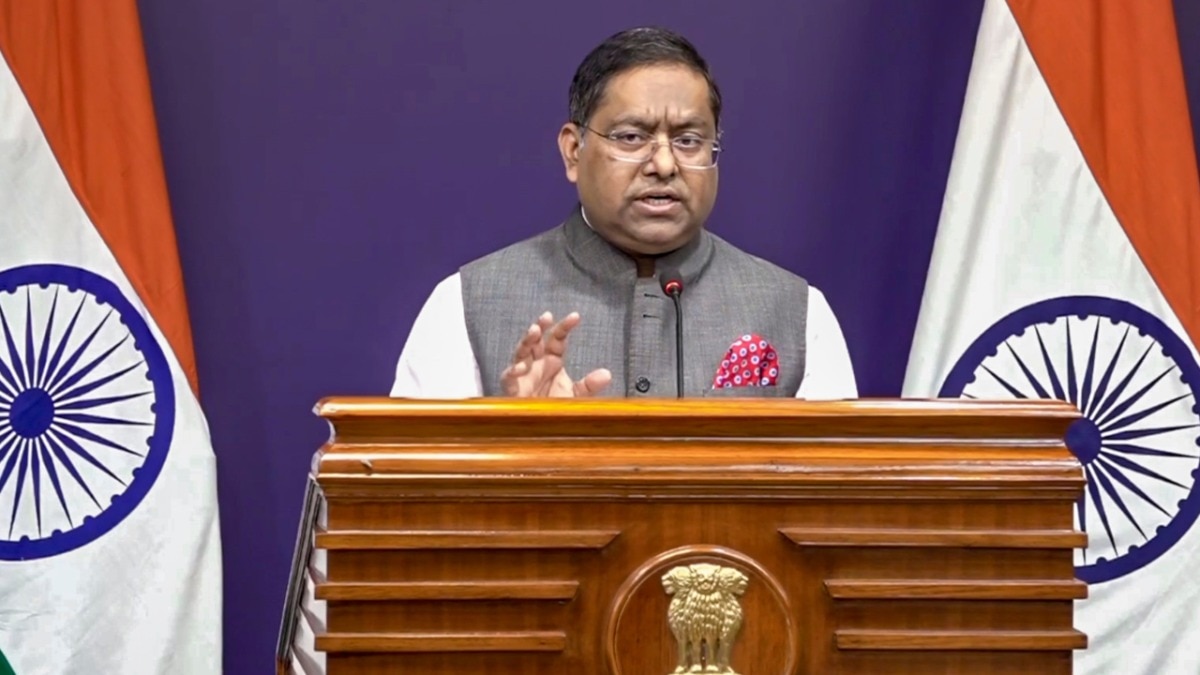
MEA spokesperson Randhir Jaiswal emphasized during a press briefing that the resolution adopted on September 4, backed by the African Union, was focused solely on the principle of preserving the proportional size of landmasses. He clarified that the resolution does not authenticate any particular map or address political cartography, including disputed territories.
"India's position on its sovereignty and territorial integrity is clear, consistent, and non-negotiable; any inaccurate depiction is unacceptable."
The map in question, released on July 1, shows Arunachal Pradesh without its boundary with Nagaland, appearing instead as a separate region flanked by Assam and China. Similarly, Aksai Chin is isolated from the rest of Ladakh. While the map uses a dotted line for the Line of Control (LoC) in Jammu and Kashmir—noting that the final status remains undecided—the depiction of the eastern and northern sectors has drawn sharp criticism from New Delhi.
Historical Background: The Map Projection War
For centuries, the Mercator projection (1569) has been the global standard, though it famously distorts the size of landmasses far from the equator. The shift toward the Equal Earth projection (2018) is a movement led by the Global South, including the African Union, to ensure that continents like Africa and South America are not visually diminished. India's support for the "Correct the Map" resolution was based on this principle of geographic fairness, not political concession.
| Feature | Mercator Projection | Equal Earth Projection |
|---|---|---|
| Primary Use | Navigation/Angles | Accurate Land Area |
| Distortion | High at Poles | Low Area Distortion |
| Political Bias | Euro-centric sizing | Global South representation |
Frequently Asked Questions
Q1: Did India's vote for the UN resolution mean it accepted the new map?
No. The MEA clarified that the vote was for the principle of equal-area representation and does not validate any specific political boundaries.
Q2: How does India view the depiction of Arunachal Pradesh in the UN map?
India views it as an anomaly and an unacceptable representation, as Arunachal Pradesh is an integral part of the Indian Union.


