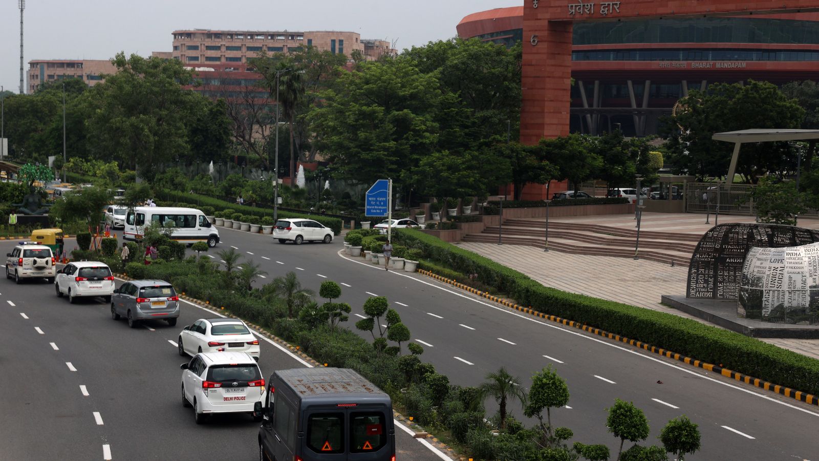
Delhi will implement strict traffic restrictions and 22 diversion points from September 11-13 for the BRICS Summit. Commuters are urged to use the Metro and plan for additional travel time.
- Traffic restrictions and 22 diversion points active from September 11-13.
- Controlled zones established in Central and South Delhi diplomatic districts.
- Special route advisories issued for IGI Airport and major railway stations.
The national capital is preparing for significant logistical adjustments as it hosts the BRICS Summit from September 11 to 13. The Delhi Traffic Police has unveiled a comprehensive strategy to manage vehicle movement, involving a network of controlled areas and specific diversion points to ensure the seamless movement of international delegates while minimizing public disruption.
Controlled Zones and High-Security Corridors
A vast network of roads in Central Delhi's administrative and diplomatic hubs has been placed under controlled traffic arrangements. Key stretches including Tees January Marg, Akbar Road, Teen Murti Marg, Sardar Patel Marg, and Janpath are under surveillance. Other affected areas include Lodhi Road, Kartavya Path, Tughlaq Road, and Mathura Road. It is important to note that being on the 'controlled' list does not imply a permanent closure; rather, traffic will be regulated dynamically based on security requirements.
Why This Matters
BozokMedia analysis shows that the orchestration of traffic during a BRICS summit is a delicate balance between national security and urban mobility. The concentration of diversions in the Lutyens' Delhi zone highlights the strategic importance of the diplomatic enclave. By diverting traffic away from the core, the police aim to prevent gridlock in areas that serve as the nerve center of the Indian government.
"Managing a mega-summit in a city as dense as Delhi requires surgical precision in traffic diversion to prevent a total collapse of the urban transport grid."
22 Strategic Diversion Points
The Traffic Police have identified 22 critical points where motorists will be rerouted. These include Patel Chowk, Dhaula Kuan Flyover, Moti Bagh Flyover, and Mandi House. For instance, at Patel Chowk, movement toward Windsor Place/RBI is restricted, with traffic being diverted via Ashoka Road toward the GPO and Sansad Marg toward Connaught Place.
| Destination | Recommended Alternate Route |
|---|---|
| New Delhi Railway Station (from North) | ISBT Kashmiri Gate $ ightarrow$ Boulevard Road $ ightarrow$ Rani Jhansi Marg $ ightarrow$ DBG Road |
| Old Delhi Railway Station (from South/East) | Ashram Chowk $ ightarrow$ Ring Road $ ightarrow$ Raj Ghat $ ightarrow$ Hanuman Mandir $ ightarrow$ S.P. Mukherjee Marg |
| IGI Airport (from Gurugram to T3) | NH-48 $ ightarrow$ Rao Gajraj Singh Marg $ ightarrow$ UER-II $ ightarrow$ Service Road |
Airport and Railway Transit Guide
For those heading to the Indira Gandhi International (IGI) Airport, the authorities have suggested specific corridors. Travelers from Dwarka are advised to use the Sector-22 Dwarka Road and the UER-II tunnel. From South Delhi, the recommended path is via AIIMS Chowk, Ring Road, and the Mahipalpur Flyover. Given the expected congestion, the Delhi Metro remains the most reliable alternative for airport-bound passengers.
Rail passengers are similarly advised to avoid their usual routes. Those heading to Hazrat Nizamuddin Railway Station from the south should utilize the AIIMS-Ring Road-Ashram Chowk-Mathura Road corridor. Commuters are urged to leave for their destinations significantly earlier than usual to account for checkpoints and diversions.
Frequently Asked Questions
Q1: Will all roads in the controlled area be closed for three days?
A: No, roads will not be permanently closed; traffic will be regulated or diverted based on real-time security and traffic needs.
Q2: What is the best way to reach the airport during the summit?
A: The Delhi Metro is highly recommended to avoid road diversions and unpredictable traffic delays.