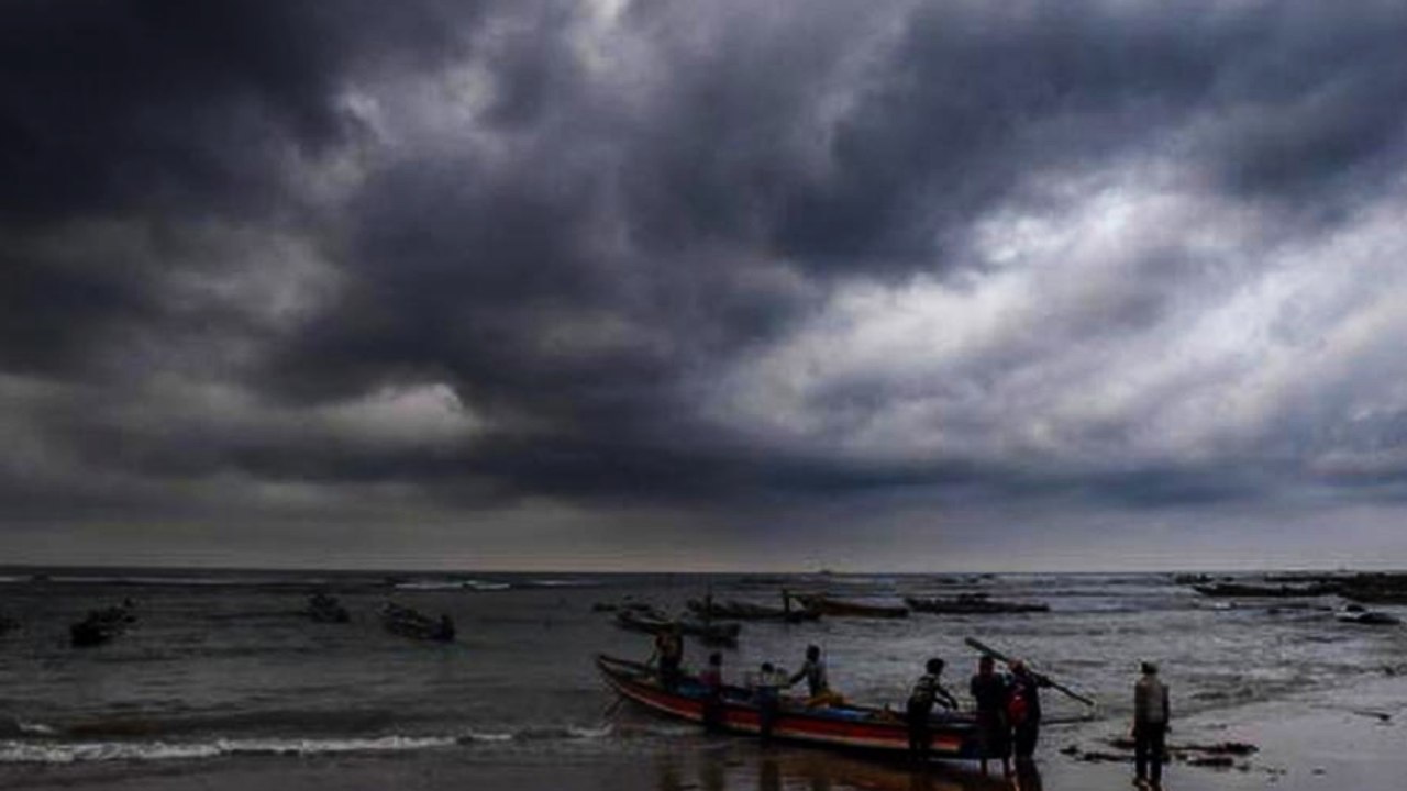
A new low-pressure system forming in the Bay of Bengal is set to bring renewed heavy rainfall and gusty winds to several districts of South and North Bengal. Authorities have issued a red alert for fishermen as sea conditions deteriorate.
- New low-pressure system forming in the North Bay of Bengal and Bangladesh coast.
- Heavy rainfall (7-11 cm) expected in five southern districts including East Midnapore and South 24 Parganas.
- Red alert issued for fishermen until Friday due to gusty winds reaching 55 kmph.
- North Bengal to experience increased precipitation from Friday through Tuesday.
The weather pattern in West Bengal has taken an unexpected turn. While the Alipore Meteorological Department initially predicted a decrease in rainfall starting Wednesday, the emergence of a new low-pressure area in the Bay of Bengal has disrupted those forecasts. A circulation currently exists over the North Bay of Bengal and the adjacent Bangladesh coast, sitting at an altitude of 5.8 km, which is expected to intensify into a formal low-pressure system by Thursday.
Adding to the atmospheric instability, the monsoon trough is currently extending from Kashmir, Uttarakhand, Uttar Pradesh, and Bihar, entering West Bengal and stretching southeast through Purulia and Digha into the Bay of Bengal. This combination of a land-based trough and a maritime low-pressure system is creating a volatile environment for the next several days.
Regional Forecast Breakdown
On Thursday, the districts of East Midnapore, West Midnapore, Jhargram, Purulia, and South 24 Parganas are braced for heavy rainfall ranging between 7 to 11 cm. Squally winds reaching speeds of 40 to 50 kmph are anticipated specifically in East Midnapore and South 24 Parganas. By Friday, the intensity will shift slightly, with heavy rain likely in West Midnapore, Jhargram, and Purulia, while other districts experience scattered showers.
| Region | Thursday Forecast | Friday Forecast |
|---|---|---|
| South Bengal | Heavy Rain (7-11cm), High Winds | Scattered Heavy Rain, Moderate Winds |
| North Bengal | Light to Moderate Rain | Heavy Rain (Jalpaiguri, Alipurduar) |
| Kolkata | Occasional Showers | Light Scattered Rain |
Why This Matters
BozokMedia analysis shows that the rapid succession of low-pressure systems in the Bay of Bengal during this monsoon phase indicates an abnormally active maritime corridor. This not only increases the risk of urban flooding in cities like Kolkata but also puts significant pressure on agricultural yields in the southern districts due to soil saturation.
The synergy between the monsoon trough and the Bay of Bengal circulation creates a 'conveyor belt' of moisture, making short-term precipitation forecasts highly volatile.
In North Bengal, the situation will escalate from Friday. Jalpaiguri and Alipurduar are expected to see heavy rainfall on Friday and Sunday, with Darjeeling and Kalimpong joining the list on Saturday. This pattern is expected to persist with scattered rains and winds of 30-40 kmph until Tuesday.
Safety warnings have been prioritized for the maritime community. With wind gusts reaching up to 55 kmph, a Red Alert has been issued, strictly prohibiting fishermen from venturing into the sea until Friday.
Frequently Asked Questions
Q1: Which districts are most at risk of heavy rain this week?
East Midnapore, West Midnapore, Jhargram, Purulia, and South 24 Parganas are under the highest alert for heavy rainfall.
Q2: Is there a warning for Kolkata residents?
While no severe alert has been issued for Kolkata, residents should expect occasional showers and intermittent rain.