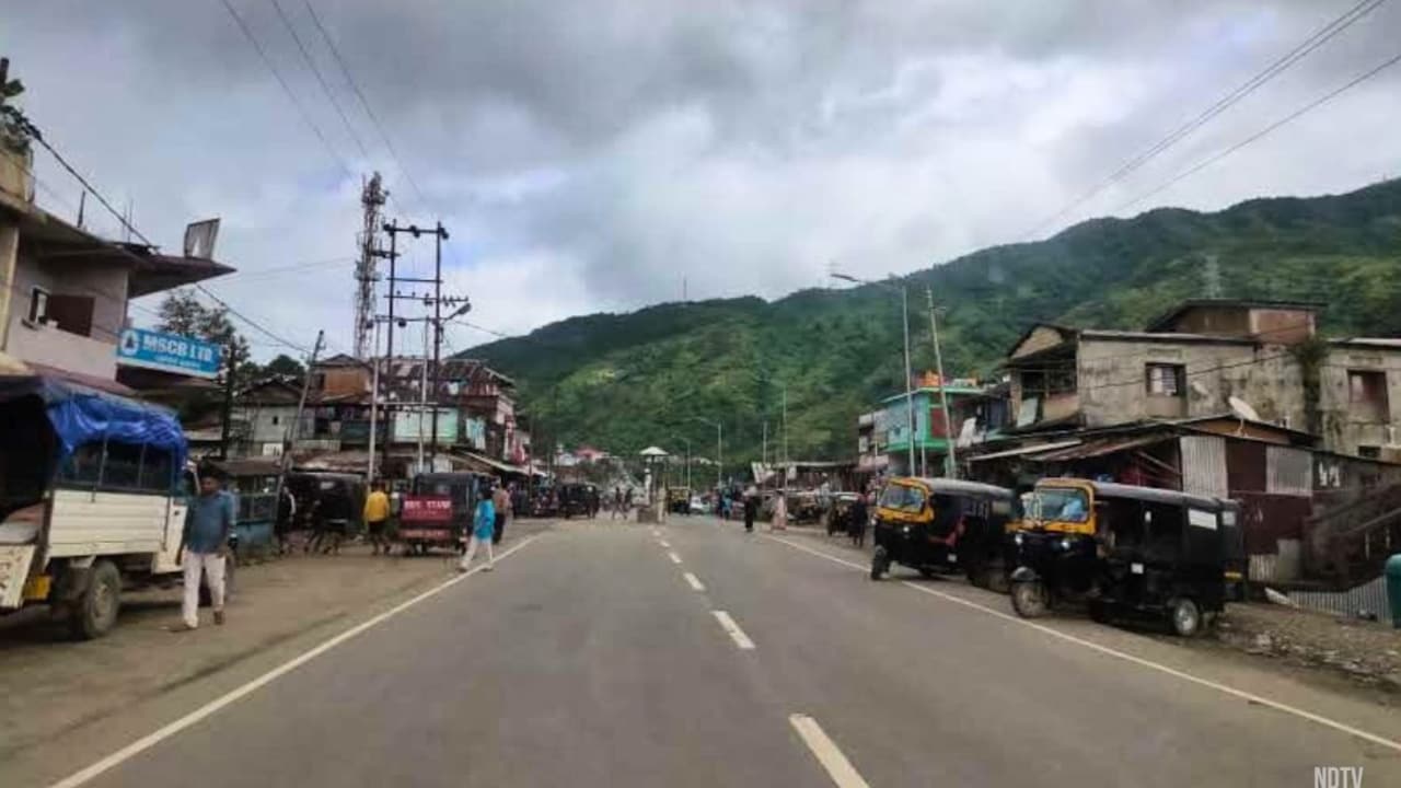
Continuous heavy rainfall in Alluri Sitharama Raju district has submerged farmlands and washed away culverts, leaving several tribal hamlets completely isolated from the mainland.
- Continuous rain for three days has severely disrupted life in tribal areas of ASR district.
- Major streams like Matsyagedda and Rayigedda are overflowing, cutting off road connectivity.
- Total rainfall of approximately 180 mm recorded in the district between Sept 12-13.
- No casualties reported, but infrastructure damage is significant.
The tribal landscapes of Alluri Sitharama Raju (ASR) district have been thrown into chaos following three days of relentless heavy rainfall. The deluge has caused major streams to swell, washed away vital culverts, and inundated vast stretches of agricultural land, effectively isolating several remote tribal hamlets from the plains.
Local residents in areas surrounding Matsyagedda, Rayigedda, and Chilakalamamidi Gedda are facing extreme hardship as these major streams are flowing at dangerously high levels. The destruction of small crossings and culverts has severed road links, making travel nearly impossible. In a harrowing display of survival, some tribal groups were reportedly forced to wade through overflowing currents to reach safety.
Why This Matters
BozokMedia analysis shows that the recurring vulnerability of these tribal belts highlights a critical gap in rural infrastructure resilience. When seasonal rains trigger such intense flooding, the lack of all-weather roads and robust bridges turns a weather event into a localized humanitarian crisis, hindering access to essential services.
The isolation of tribal communities during monsoon surges is a recurring challenge that demands more resilient engineering in hilly terrains.
The impact has also extended to the border regions shared with Odisha. In Sileru, the overflow of the Kangurukonda and Potteru bridges left multiple vehicles stranded. Furthermore, structural damage was reported in Chintapalli, where a wall and a house collapsed due to the intensity of the rains. Fortunately, district officials have confirmed that no casualties have occurred thus far.
Rainfall Distribution Data
| Location (Mandals) | Rainfall (mm) |
|---|---|
| Koyyuru | 36.0 |
| Munchingputtu | 28.6 |
| G.K. Veedhi | 26.6 |
| Peda Bayalu | 19.4 |
| Chintapalli | 18.8 |
| Araku Valley | 12.2 |
According to meteorological data from the district, ASR recorded approximately 180 mm of rainfall between September 12 and the morning of September 13. Koyyuru emerged as the hardest-hit area with 36 mm of rain. Authorities have placed local-level officials on high alert to monitor vulnerable habitations and ensure continuous oversight of road connectivity.
Historical Background
The Alluri Sitharama Raju district, characterized by its rugged Eastern Ghats terrain, is prone to flash floods during the monsoon season. The geographical isolation of its tribal populations makes the district particularly susceptible to being cut off whenever major streams overflow, a pattern seen in previous monsoon cycles.
Frequently Asked Questions
Q1: Are the villages still isolated?
A1: Many remain isolated due to damaged culverts, but water levels began receding on Sunday afternoon, suggesting relief may arrive soon.
Q2: Was there any loss of life?
A2: No, district officials have officially stated that there have been no reported casualties.