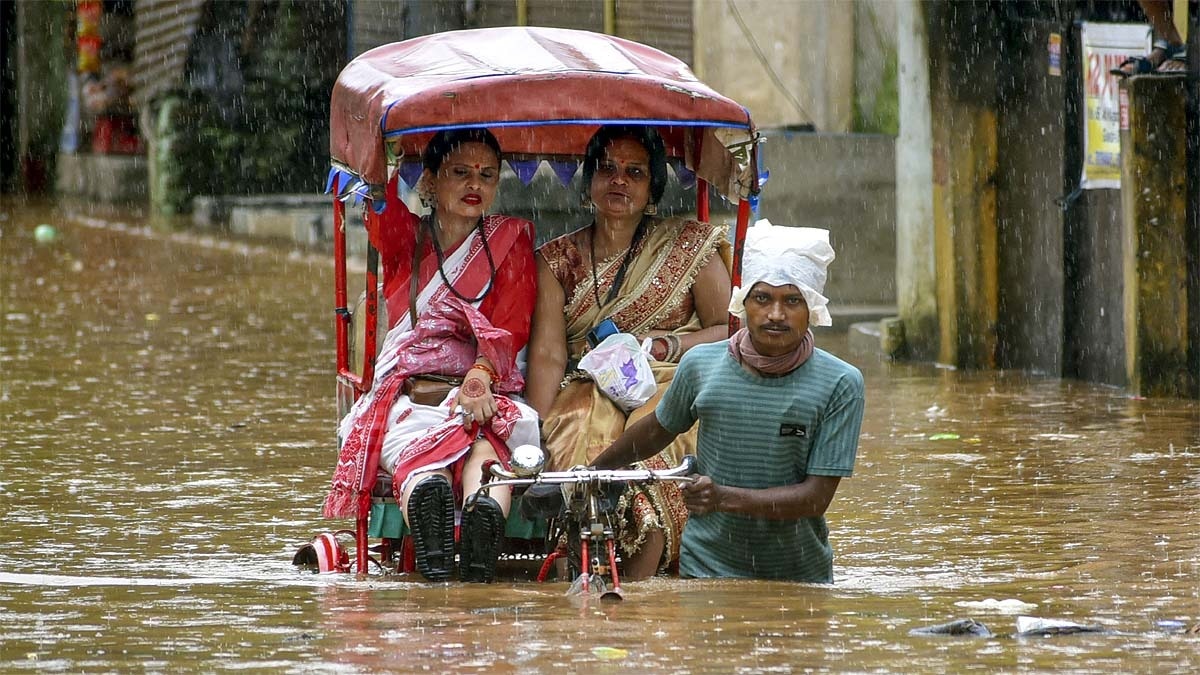
India witnessed a bizarre weather pattern in August, where intense rainfall in several regions failed to offset a significant 16.3% national deficit. The unusual activity of low-pressure systems and Western Disturbances has redefined the monsoon season.
- National rainfall in August was 16.3% below the seasonal average.
- Low-pressure systems remained active for 26 days, significantly higher than the usual 16.3 days.
- August recorded the 4th highest average maximum temperature since 1901.
- Meghalaya saw the most drastic deficit of 58% this monsoon season.
The month of August 2026 has presented a perplexing meteorological puzzle for India. While several regions experienced torrential downpours driven by Low Pressure Systems and Western Disturbances, the cumulative national rainfall figures showed a staggering 16.3% deficit compared to normal levels.
According to the India Meteorological Department (IMD), the Bay of Bengal generated 6 low-pressure systems during August, two of which intensified into depressions. A critical factor in this erratic pattern was the duration of these systems; they remained active for 26 days, far exceeding the typical 16.3-day window. This prolonged activity, combined with high-frequency Western Disturbances, created localized flooding while failing to provide widespread relief.
Why This Matters
BozokMedia analysis shows that this shift in monsoon dynamics—specifically the encroachment of Western Disturbances into the monsoon months—indicates a fundamental change in regional climate patterns. This imbalance between intense localized rain and overall seasonal deficits poses a significant threat to agricultural stability and water management strategies across the subcontinent.
The prolonged stay of low-pressure systems and the unusual monsoon activity of Western Disturbances are reshaping India's traditional weather cycles.
Geographically, the impact was highly uneven. While East, East-Central, and North-West India saw significant rainfall, South India faced a severe deficit of 27.1% in August. States like Andhra Pradesh have seen a massive 42% rainfall deficit since the start of the monsoon season, highlighting a growing trend of regional water scarcity.
The thermal profile of the month was equally alarming. August was not just anomalous in terms of precipitation but also in temperature. The country's average maximum temperature was the 4th highest for August since 1901, and the average minimum temperature reached its highest level in 126 years, signaling an intense heat-moisture conflict.
| Region | Rainfall Deviation (%) |
|---|---|
| National Average | 16.3% Deficit |
| South India | 27.1% Deficit |
| Meghalaya | 58% Deficit |
| Ladakh | 195% Surplus |
Frequently Asked Questions
Q1: Why was there a rainfall deficit despite heavy rains in some areas?
A: The rainfall was highly localized due to stagnant low-pressure systems, which failed to distribute moisture evenly across the entire country.
Q2: Which region experienced a surplus in rainfall?
A: Ladakh recorded an extraordinary 195% surplus in rainfall during this period.