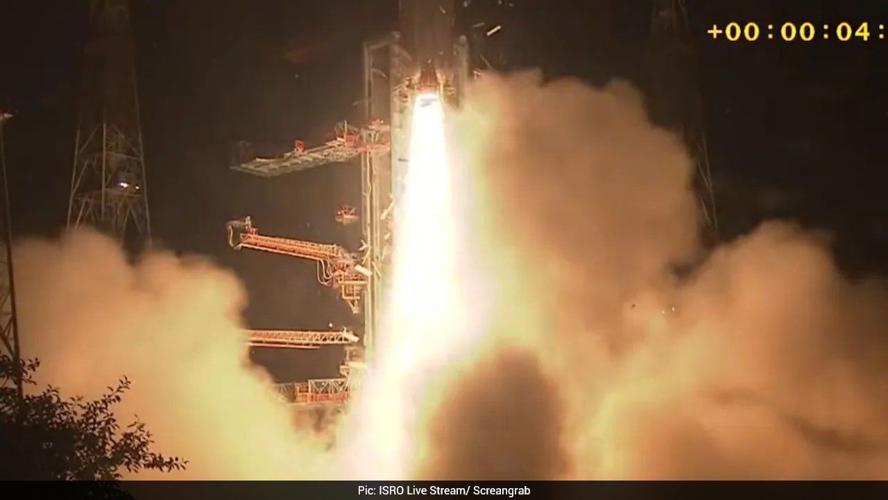
ISRO has successfully launched the EOS-05 (GISAT-1A) satellite via the GSLV-F17 rocket. This mission marks a breakthrough in India's ability to perform real-time Earth observation for security and disaster management.
- GSLV-F17 successfully launched the 2,367 kg EOS-05 satellite into space.
- EOS-05 is India's first geosynchronous orbit imaging satellite, positioned at 36,000 km.
- The satellite can capture images of the Indian subcontinent every 30 minutes.
- Key applications include disaster management, agriculture, and national security.
In a monumental achievement for the Indian Space Research Organisation (ISRO), the GSLV-F17 rocket successfully lifted off from the second launch pad of the Satish Dhawan Space Centre on September 4, 2026. The mission carried the EOS-05 (GISAT-1A) satellite, weighing approximately 2,367 kg, into space, marking a significant return to mission success after an eight-month hiatus.
The GSLV rocket has earned the nickname 'Naughty Boy' among space enthusiasts due to previous technical setbacks, specifically the 2021 GSLV-F10 mission failure. This successful launch serves as a powerful comeback, demonstrating ISRO's resilience and advanced engineering capabilities in overcoming cryogenic stage complexities.
Why This Matters
BozokMedia analysis shows that EOS-05 represents a paradigm shift in India's surveillance capabilities. Unlike traditional remote sensing satellites that operate in Low Earth Orbit (LEO) and take days to revisit the same spot, EOS-05 will reside in a Geosynchronous Orbit at an altitude of 36,000 km. This allows it to maintain a fixed position relative to the Earth, providing continuous monitoring of the Indian subcontinent with an imaging interval of just 30 minutes—and as low as 5 minutes for critical zones.
The ability to capture high-resolution imagery every 30 minutes provides India with an unprecedented 'eye in the sky' for real-time strategic intelligence.
Equipped with a sophisticated 700mm telescope, the satellite will collect data across visible, near-infrared, and short-wave infrared bands. This advanced payload is designed to provide high-fidelity data even in varying atmospheric conditions, ensuring that decision-makers have access to accurate, timely information.
Impact on National Security and Disaster Response
The implications for national security are profound. The satellite will act as a constant sentinel, monitoring borders and detecting suspicious movements in real-time. Beyond defense, its role in disaster management is vital. From tracking the progression of cyclones and floods to monitoring forest fires, EOS-05 will provide the real-time data necessary for rapid emergency response and life-saving interventions.
Comparison: LEO vs. Geosynchronous Imaging
| Feature | Standard LEO Satellites | EOS-05 (GISAT-1A) |
|---|---|---|
| Orbit Altitude | ~500 - 2,000 km | ~36,000 km |
| Revisit Time | Days | Every 30 Minutes |
| Primary Use | General Mapping | Real-time Security & Disaster Management |
Agricultural and Environmental Benefits
The mission also holds immense value for the agrarian economy. By monitoring soil moisture, crop health, and vegetation patterns, EOS-05 will assist in precision agriculture and food security planning. Furthermore, it will play a crucial role in environmental monitoring, helping scientists track climate changes and land-use patterns across the region.
Frequently Asked Questions
1. What makes EOS-05 different from previous ISRO satellites?
Unlike previous satellites that orbit the Earth at low altitudes, EOS-05 is a geosynchronous imaging satellite, allowing it to monitor the same region continuously and frequently.
2. How will this help in disaster management?
It provides real-time imagery of natural disasters like floods or cyclones, enabling authorities to coordinate rescue operations much faster.