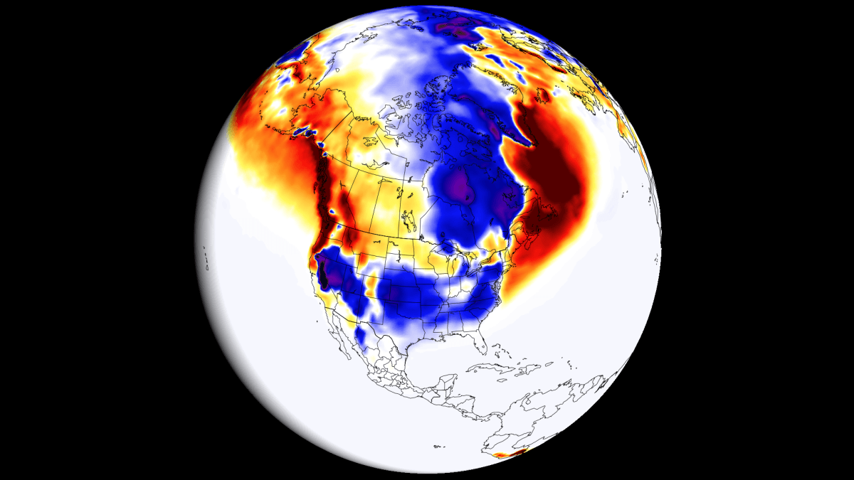
New long-range forecasting data indicates a massive Super El Niño event is developing for the 2026/2027 winter season. This phenomenon is expected to drastically reshape snowfall patterns across North America and Europe.
- A powerful Super El Niño is developing, set to peak in the 2026/2027 winter.
- Oceanic temperature anomalies are exceeding +3°C in some regions.
- Significant shifts in the jet stream will impact snowfall in the US, Canada, and Europe.
- Subsurface Kelvin Waves are providing sustained energy to the event.
The first major snowfall predictions for the Winter 2026/2027 season are surfacing, and they point toward a massive climatic shift. Data suggests a robust Super El Niño is currently unfolding, which is poised to fundamentally alter the jet stream and low-pressure system tracks across the globe.
Current ocean analysis, based on NOAA-CRW data, reveals significant warm anomalies across the tropical Pacific. In the eastern regions, peak anomalies are exceeding 6°C (10.8°F) above normal. For an event to be classified as 'Super,' sustained seasonal values must exceed +2°C; current trends show we are not only meeting this threshold but are heading toward an extreme +3°C anomaly.
The Mechanics of a Super Event
The driving force behind this historic development is a massive downwelling Kelvin Wave. This subsurface phenomenon involves a significant temperature anomaly in the top 250 meters (800 ft) of the tropical Pacific, with peaks over 10°C above normal. As these warm waters rise to the surface, they provide a stable, long-term energy supply that will sustain the El Niño well into the winter months.
The scale of the current Kelvin Wave suggests that the 2026/2027 event could rank among the strongest in recorded history.
Why This Matters
BozokMedia analysis shows that the implications of this event extend far beyond ocean temperatures. The restructuring of the jet stream—the high-altitude river of air that dictates weather—is the primary concern. A strengthened subtropical jet stream typically brings more moisture and lower pressure to the southern and eastern United States, significantly increasing the potential for heavy, sustained snowfall if cold air masses are present.
Historical Context and Comparison
Historically, strong El Niño events weaken the polar jet stream while amplifying the subtropical jet stream. This creates a distinct contrast in weather patterns between northern and southern latitudes.
| Metric | Standard Winter | Super El Niño (2026/27 Forecast) |
|---|---|---|
| Pacific Temp Anomaly | < +1.5°C | > +3.0°C |
| Jet Stream Pattern | Predictable/Stable | Highly Disrupted/Shifted |
| Snowfall Risk (US) | Seasonal Norms | Elevated (Southern/Eastern regions) |
Frequently Asked Questions
Question 1: How does El Niño affect snowfall?
Answer: It shifts the jet stream, which can redirect moisture-rich air toward specific regions, leading to increased snowfall in some areas and drought in others.
Question 2: When will the Super El Niño peak?
Answer: Most models, including the ECMWF, suggest the event will reach its maximum strength around December 2026.