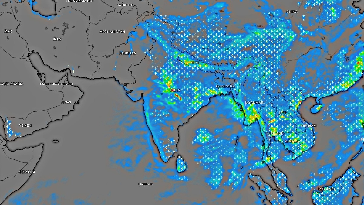
The Meteorological Centre Srinagar has warned of intense rain spells and thundershowers across Jammu and Kashmir, with a high risk of flash floods and landslides in hilly terrains.
Key Takeaways
- Widespread rain and thundershowers expected across J&K between August 16 and 19.
- High risk of flash floods, landslides, and mudslides in vulnerable districts.
- Special warning issued for the Jammu division; Kashmir may also see intense showers.
- Significant rainfall already recorded in Kathua and Bhaderwah.
The Jammu and Kashmir region is bracing for a period of unsettled weather. The Meteorological Centre Srinagar has issued a forecast predicting widespread spells of rain and thundershowers over the coming days. A critical window has been identified between August 16 and 19, during which several districts may experience brief but extremely intense heavy showers.
According to the latest meteorological data, Friday, August 14, is expected to see rain and thundershowers in many areas, with intensity peaking during the afternoon and evening. This pattern is expected to continue into August 15, with light to moderate activity likely during late-night and early-morning hours. The weather is predicted to remain highly unstable through the 19th.
Why This Matters
BozokMedia analysis shows that the sudden transition from light to intense heavy rainfall in the mountainous terrain of J&K poses a significant threat to both infrastructure and human safety. The rapid accumulation of water in short durations is a primary driver for geological instabilities in the region.
The MeT advisory cautions that torrential rain could trigger devastating flash floods and landslides in low-lying and hilly areas.
The Meteorological Centre has specifically highlighted the Jammu division as being at higher risk for heavy rainfall, while certain districts within the Kashmir division are also on alert for intense showers. Authorities have warned of potential waterlogging in low-lying areas and the risk of mudslides along critical transit routes.
Historical Background
Historically, the monsoon season in Jammu and Kashmir has been characterized by sudden, intense weather shifts. These patterns often lead to the closure of vital highways, such as the Jammu-Srinagar National Highway, due to landslides, impacting the movement of essential goods and tourism.
Recent Rainfall Statistics
| Location | Rainfall Recorded (mm) |
|---|---|
| Kathua | 62.4 mm |
| Bhaderwah | 62.2 mm |
| Reasi ARG | 34.5 mm |
Frequently Asked Questions (FAQ)
1. When is the weather expected to improve in J&K?
The weather is expected to show signs of improvement between August 20 and 22, with only scattered light rain expected.
2. What precautions should residents take?
Residents in vulnerable areas should remain alert, avoid traveling through landslide-prone zones during heavy rain, and stay updated via official weather bulletins.