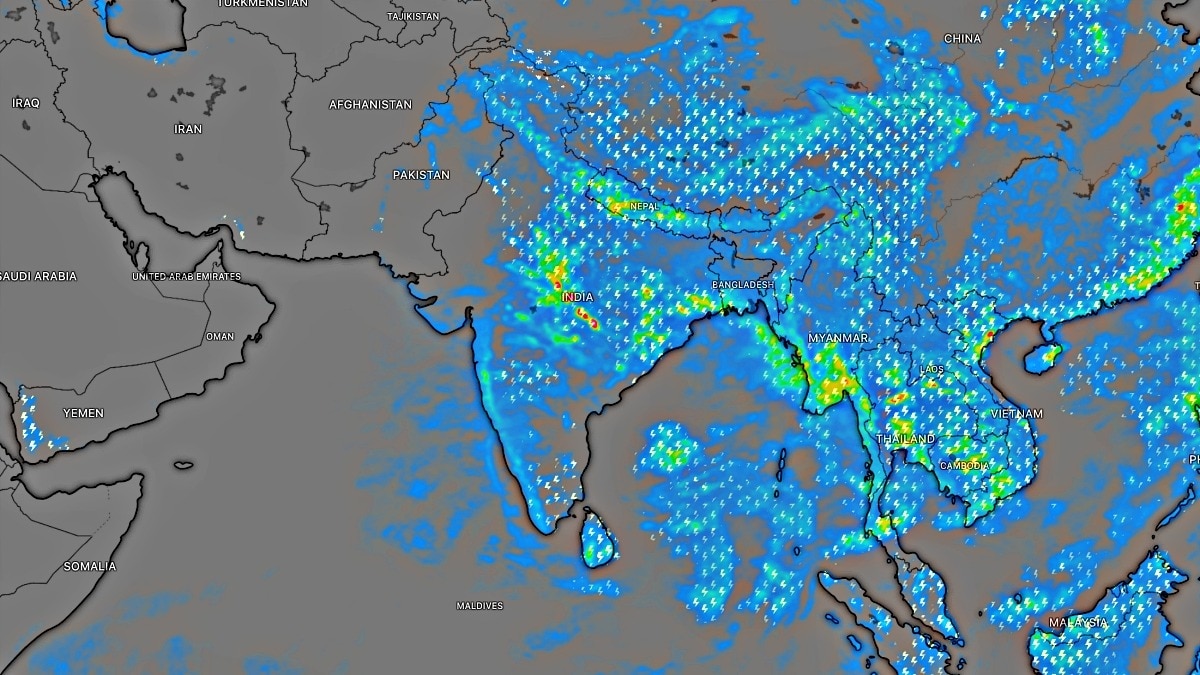
A developing low-pressure area in the Bay of Bengal is expected to intensify into a depression, bringing heavy rainfall and rough seas to North Andhra Pradesh.
Key Takeaways
- A low-pressure area in the NW Bay of Bengal is likely to intensify into a depression within 12 hours.
- Heavy rain predicted for Srikakulam, Vizianagaram, Parvathipuram Manyam, Anakapalli, and Alluri Sitharama Raju.
- Fishermen advised against venturing into the sea due to rough conditions.
- Wind speeds could reach gusts of up to 60 kmph along the coast.
The India Meteorological Department (IMD) has issued a significant weather warning for the North Andhra Pradesh coast following the formation of a well-marked low-pressure area over the northwest Bay of Bengal. This system, aided by upper air cyclonic circulation, is expected to intensify into a depression within the next 12 hours, potentially bringing severe weather conditions to the region.
Heavy Rainfall and Wind Forecast
According to the IMD, isolated heavy rainfall is forecast over Srikakulam, Vizianagaram, Parvathipuram Manyam, Anakapalli, and Alluri Sitharama Raju districts, as well as Yanam, over the next 24 hours. The Andhra Pradesh State Disaster Management Authority (APSDMA) has warned that winds of 40-50 kmph, gusting up to 60 kmph, may prevail along the north Andhra coast until Tuesday.
Why This Matters
BozokMedia analysis shows that the intensification of this system poses a dual threat: heavy inland precipitation and dangerous maritime conditions. The combination of swell surges and high winds can disrupt local economies, particularly fishing and maritime logistics, necessitating proactive disaster management.
Fishermen are strongly advised to return to shore immediately and avoid venturing into the sea until conditions improve.
On Monday, thunderstorms accompanied by lightning are expected in several districts, including Visakhapatnam, Eluru, Nellore, and Tirupati. The alert for rough seas, currently focused on the North Andhra coast and Yanam, is expected to extend to South Coastal Andhra Pradesh by Tuesday. Coastal districts have also been placed on alert for swell surges with wave heights reaching up to 1.4 meters.
Historical Background
The Bay of Bengal is historically prone to the formation of depressions and cyclonic storms during the monsoon season. These systems often move northwestwards, impacting the eastern coast of India, requiring constant monitoring by the Cyclone Warning Centre in Visakhapatnam.
Frequently Asked Questions
1. Which specific districts are under heavy rain alert?
The primary districts include Srikakulam, Vizianagaram, Parvathipuram Manyam, Anakapalli, and Alluri Sitharama Raju.
2. How high are the sea waves expected to be?
Swell surge alerts have been issued with forecast wave heights of up to 1.4 meters in several coastal districts.