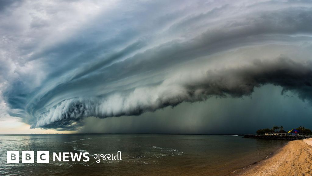
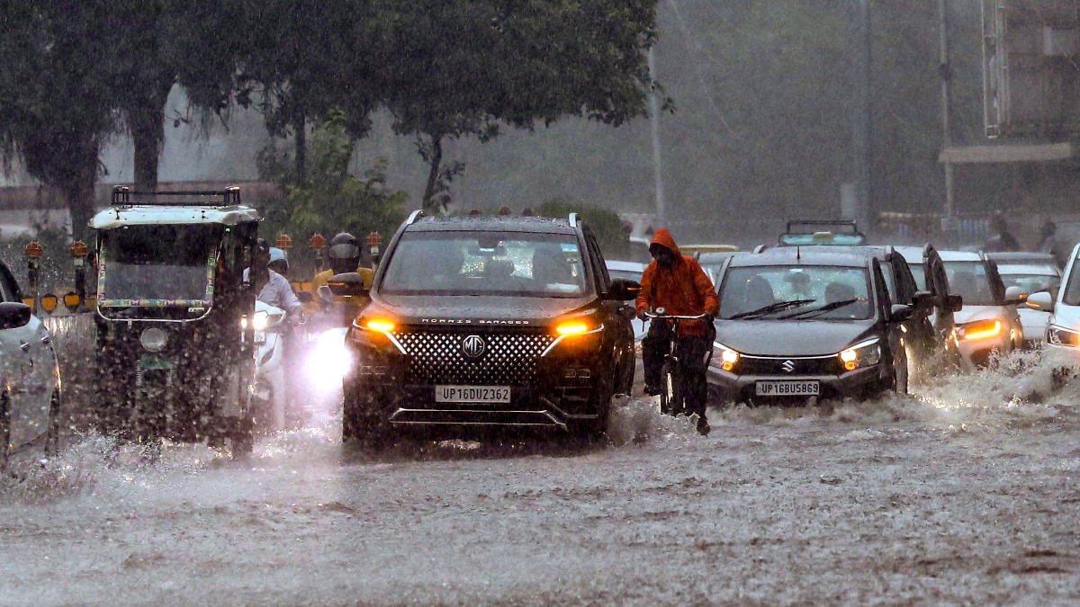
A low-pressure system has developed over the Northwest Bay of Bengal, prompting weather warnings for North Andhra, Odisha, and West Bengal. Maritime activities have been suspended due to hazardous sea conditions.
- A low-pressure area formed in the Northwest Bay of Bengal on August 23, 2026.
- Wind speeds are expected to reach up to 60 kmph in coastal regions.
- A total prohibition on fishing and maritime work has been issued for the next 48 hours.
- Impacted regions include West Bengal, Odisha, and North Andhra Pradesh.
On Sunday morning, August 23, 2026, a low-pressure area developed over the Northwest Bay of Bengal and its adjoining areas. This development is driven by an active upper-air cyclonic circulation located off the coasts of West Bengal and Bangladesh. According to the India Meteorological Department (IMD), this system is poised to intensify regional atmospheric instability, leading to significant weather disruptions across the eastern coastline.
Forecasters predict squally weather conditions characterized by wind speeds ranging from 40 to 50 kmph, with gusts potentially hitting 60 kmph. This adverse weather pattern is expected to persist through August 24, heavily impacting the coastal stretches of West Bengal, Odisha, and North Andhra Pradesh.
Why This Matters
BozokMedia analysis shows that such sudden atmospheric shifts pose a direct threat to maritime logistics and the livelihoods of millions dependent on the sea. The transition from moderate to 'very rough' sea states can lead to significant disruptions in port operations and coastal safety protocols.
The formation of this low-pressure system necessitates immediate caution for all maritime sectors due to the imminent threat of hazardous swells.
In response to the high-risk maritime conditions, authorities have issued a total prohibition for workers at sea. Fishermen have been strictly advised to avoid venturing into the Northwest and adjoining west-central Bay of Bengal until the weather stabilizes after August 24.
Historical Background
The Bay of Bengal is historically known for its high frequency of cyclonic disturbances and low-pressure systems during the monsoon months. The interaction between warm sea surface temperatures and atmospheric circulation often creates conditions ripe for rapid intensification, making the eastern coast of India one of the most monitored meteorological zones in the world.
Frequently Asked Questions
1. How long will the bad weather last?
The adverse weather conditions are expected to prevail until at least August 24.
2. Is there a ban on fishing?
Yes, a total prohibition has been issued for fishermen in the affected coastal areas.