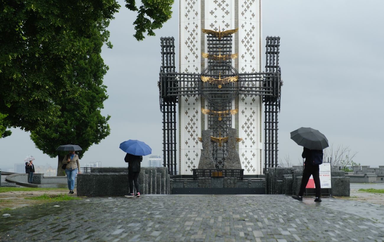
Northeast Florida is bracing for intense afternoon thunderstorms, with potential wind gusts up to 60 mph and flash flooding risks. Residents should prepare for extreme heat and heavy rainfall through the weekend.
- Peak storm activity expected between 3 p.m. and 8 p.m.
- Potential for wind gusts of 40-60 mph and frequent lightning.
- High risk of flash flooding in urban areas due to 3-4 inches of rainfall.
The calm morning in Northeast Florida is set to give way to a highly volatile afternoon. As temperatures climb into the low 90s, the heat index is expected to soar between 100 and 105 degrees, creating a sweltering environment just before numerous showers and thunderstorms develop.
Storm Intensity and Timing
Meteorologists have identified the window between 3 p.m. and 8 p.m. as the most critical period for storm activity. The most intense cells are likely to impact areas near and east of I-95. These storms are not merely passing showers; they have the potential to become severe, bringing torrential rain and wind gusts ranging from 40 to 60 mph.
Why This Matters
BozokMedia analysis shows that the primary danger lies in the slow-moving nature of these storm cells. Because the storms move slowly, they can dump significant amounts of water—up to 3 to 4 inches—in localized areas. This poses a direct threat of flash flooding, particularly in urban centers and regions with poor drainage infrastructure.
Slow-moving storm systems are often more dangerous than fast-moving ones due to the concentrated volume of rainfall in a single location.
The unsettled weather pattern is expected to persist throughout the week. With high heat indices and continued chances of thunderstorms through Saturday, residents should remain vigilant. Additionally, a moderate rip-current risk is in effect for all local beaches today.
Historical Background: Summer Patterns in Florida
The summertime pattern in Florida is characterized by high humidity and convective activity. During these months, the daily heating of the land triggers upward air movement, leading to the predictable but often violent afternoon thunderstorms seen across the peninsula. In recent years, these patterns have shown increased intensity due to rising sea surface temperatures.
Frequently Asked Questions
Question 1: When will the storms subside?
Answer: Most storms are expected to weaken after 9 p.m., though scattered rain may continue into the late night.
Question 2: What should I do if flash flooding occurs?
Answer: Seek higher ground immediately and avoid driving through flooded roadways.