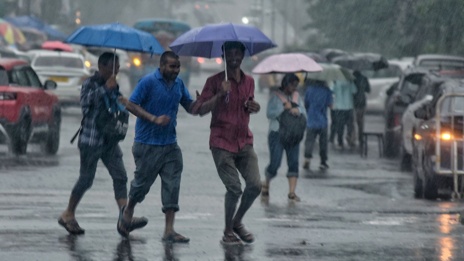
A vigorous weather system is set to sweep through Western and Central New York, bringing threats of damaging winds, hail, and significant flash flooding risks.
- Strong thunderstorms expected to cross Western and Central New York Wednesday through Wednesday night.
- High risk of damaging winds, hail, and potential isolated tornadoes.
- Flash flooding threat is highest within Central New York (CNY).
- Dense fog expected in areas south and east of Syracuse due to high humidity.
Meteorologists are raising alarms as a powerful weather maker prepares to traverse the region, bringing a cocktail of dangerous atmospheric conditions. The combination of warmth, high humidity, and shifting dynamics has placed much of Western and Central New York directly in the crosshairs of severe thunderstorms that could bring significant property damage.
According to meteorologist Peter Hall, while Tuesday night may remain relatively quiet with partly cloudy skies, the high dew points will trigger dense fog, particularly in areas south and east of Syracuse. Drivers are urged to exercise extreme caution due to low visibility.
Timing and Storm Dynamics
The progression of these storms is expected to begin early Wednesday morning, moving from west to east across Western New York. This initial line of showers may impact the I-81 corridor and the Great New York State Fairgrounds by midday. However, the most intense period is anticipated around or after sunset on Wednesday.
The highest risk for wind damage, hail, and even isolated tornadoes resides in the thunderstorm line expected to cross the region after sunset.
Why This Matters
BozokMedia analysis shows that the atmospheric setup is particularly volatile. Computer models indicate the potential for rotating thunderstorms, which introduces a low but non-zero risk of tornadoes, especially across the Finger Lakes region and points west. This complexity makes the weather pattern extremely unpredictable for residents.
| Weather Threat | Primary Impact Area | Risk Level |
|---|---|---|
| Wind & Hail Damage | Western & Central NY | High |
| Flash Flooding | Central New York (CNY) | Very High |
| Isolated Tornadoes | Finger Lakes / Western NY | Low to Moderate |
Furthermore, the threat of flash flooding is a major concern. Models suggest repetitive heavy downpours could drop 2-4 inches of rain or more during Wednesday night. This follows recent flooding events at the Great New York State Fairgrounds, which have already prompted Fair Director Julie LaFave to urge citizens to sign up for emergency text alerts.
Frequently Asked Questions
1. When is the most dangerous time for the storms?
The highest risk for severe wind, hail, and tornadoes is Wednesday evening around or after sunset.
2. Which areas should prepare for flooding?
Central New York is at the highest risk for flash flooding due to predicted heavy rainfall.