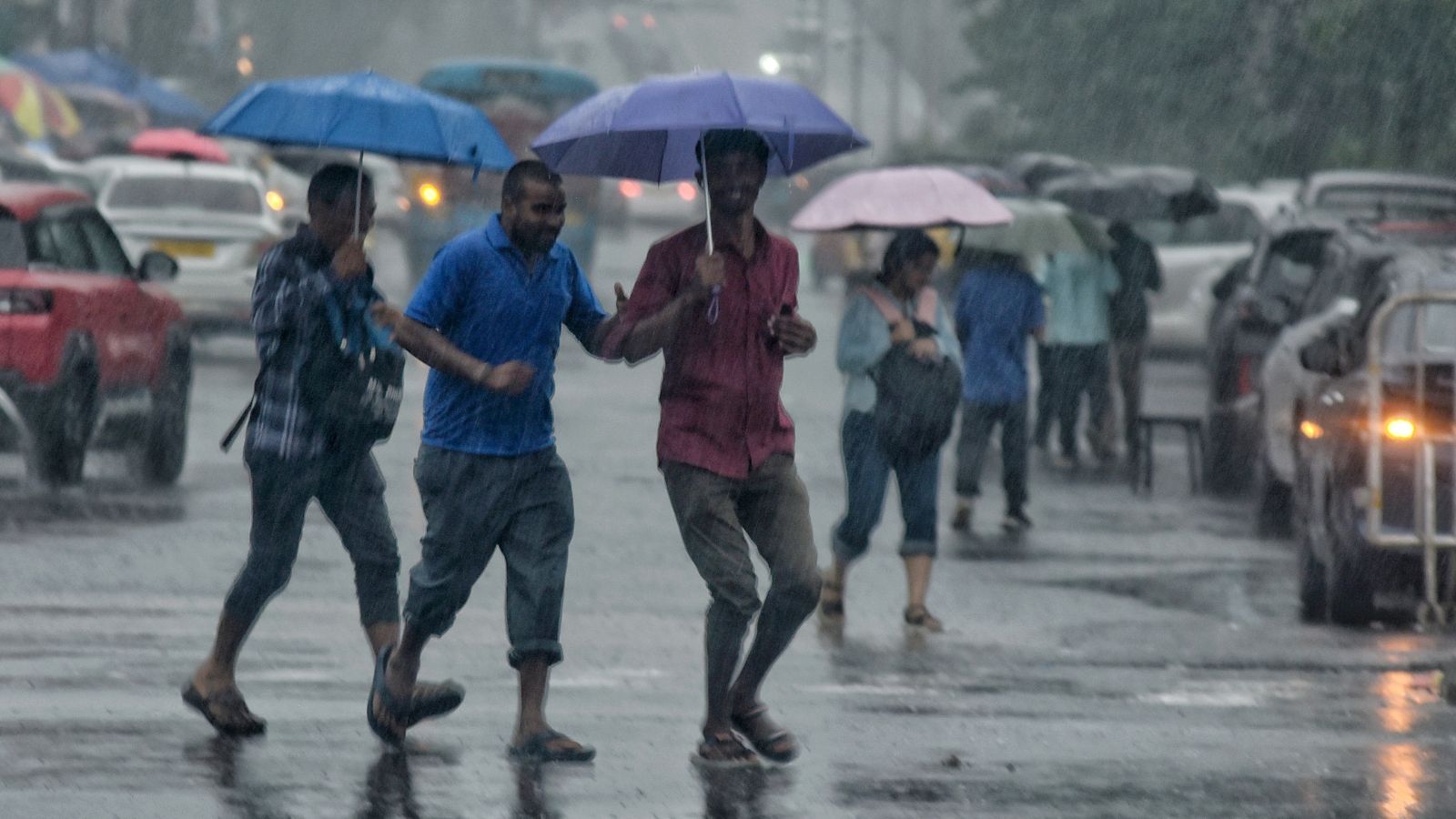
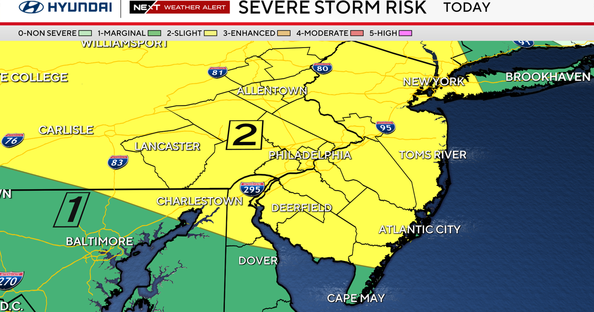
Residents are bracing for a return of intense "Hump Day" heat this afternoon, marking a significant temperature spike mid-week. However, a potential reprieve is on the horizon, with forecasts indicating scattered showers and cooler temperatures expected to arrive over the upcoming weekend, offering a much-needed break from the sweltering conditions.
- Intense heat expected on Wednesday ("Hump Day").
- Temperatures likely to reach high levels with high humidity.
- Weekend forecast includes scattered showers, offering relief.
The mid-week point, often dubbed "Hump Day," brings a significant return of scorching temperatures to the region this afternoon. After a brief lull, residents are advised to prepare for another wave of intense heat and humidity. However, meteorologists are also tracking a shift in weather patterns that promises a potential respite by the weekend, with scattered showers forecasted to sweep through the area, bringing cooler conditions.
Today's heat is anticipated to be particularly oppressive, with temperatures soaring into the upper 90s (Fahrenheit) and heat indices potentially exceeding 105-110 degrees Fahrenheit due to high humidity. Authorities are urging the public to take precautions against heat-related illnesses, emphasizing hydration, limiting outdoor exposure during peak hours, and checking on vulnerable populations. The return of this intense mid-week heat underscores the challenging summer conditions many are experiencing.
The current high-pressure system responsible for the heat dome is expected to gradually weaken and shift eastward as the week progresses. This atmospheric change will pave the way for a frontal boundary or a surge of tropical moisture to move into the region, increasing the chances for precipitation. This transition is eagerly awaited by many seeking relief from the prolonged hot spell.
Forecast models indicate that scattered showers and thunderstorms are likely to develop across the area starting late Friday and continuing through Saturday and Sunday. While widespread heavy rainfall is not guaranteed, even localized downpours could provide temporary cooling and help alleviate dry conditions in some areas. Residents should monitor local weather updates for specific timing and potential severity of these weekend storms, which could bring welcomed cooler air.
Historically, late summer months in this region are often characterized by a seesaw pattern of intense heat waves punctuated by periodic tropical disturbances or cold fronts that bring much-needed rain. The current forecast aligns with these typical seasonal variations, where prolonged dry and hot spells can quickly give way to significant precipitation events. Understanding these historical patterns helps residents prepare for the unpredictable nature of summer weather.
Why This Matters
BozokMedia analysis shows that extreme weather events, such as prolonged heatwaves followed by sudden downpours, have significant implications for public health, local infrastructure, and the regional economy. High temperatures strain power grids, increase healthcare demands, and impact outdoor industries like construction and agriculture. Conversely, weekend showers, while providing relief, can also pose risks of localized flooding and disrupt outdoor recreational activities, highlighting the dual challenges of summer weather.
"The shift from oppressive mid-week heat to potential weekend showers is a classic late-summer pattern, driven by the interplay of high-pressure systems and incoming moisture, underscoring the dynamic nature of our regional climate," stated Dr. Alistair Finch, a senior meteorologist.
Frequently Asked Questions
Q: What does "Hump Day" heat mean?
A: "Hump Day" refers to Wednesday, the middle of the traditional work week. "Hump Day heat" signifies a return of high temperatures and humidity specifically on this mid-week day.
Q: How can residents prepare for the upcoming weekend showers?
A: Residents should secure outdoor items, clear storm drains if applicable, and stay informed via local weather advisories for potential heavy rain or thunderstorms, especially if planning outdoor activities.