Delhi-NCR is grappling with relentless heavy downpours caused by a complex interplay of multiple weather systems. Experts reveal that the monsoon is only one part of the story.
- A well-marked low-pressure area and a Western Disturbance are fueling the rain.
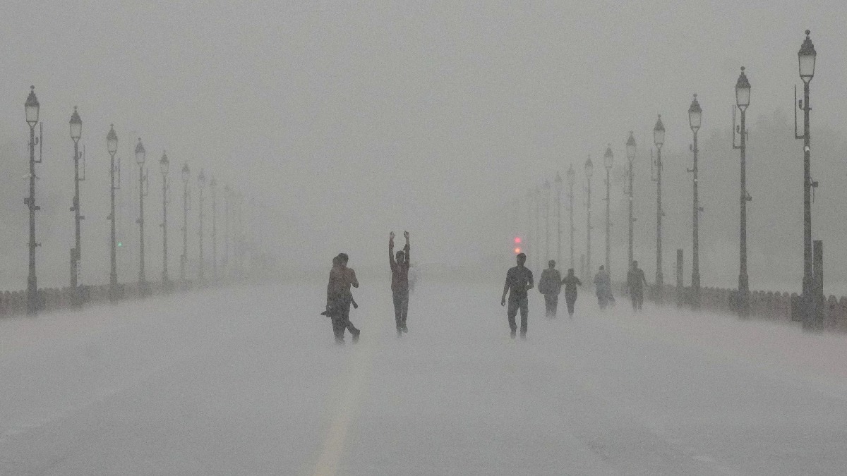
- Heavy rainfall and gusty winds up to 60 kmph were recorded in Delhi and Gurgaon.
- IMD predicts weather will clear up significantly from September 7 onwards.
New Delhi: The National Capital Region (NCR) has been under a heavy spell of rain, following a massive downpour on Friday that left several parts of the city submerged. From waterlogged streets in Noida to disrupted operations near the Indira Gandhi International (IGI) Airport, the intensity of the rainfall has caught many by surprise.
The Science Behind the Deluge
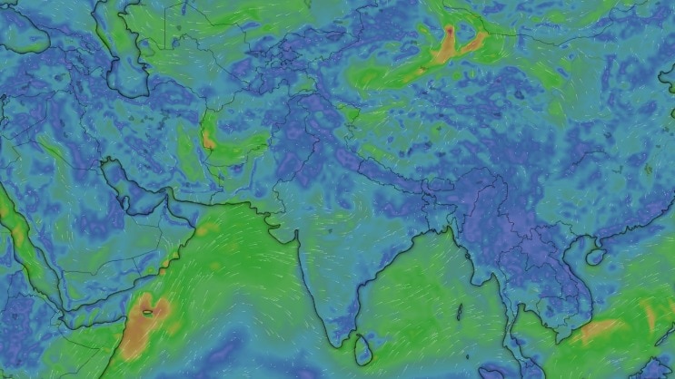
While the monsoon is active, meteorologists point out that the current situation is driven by a convergence of several atmospheric features. A well-marked low-pressure area situated over northwest Madhya Pradesh and southwest Uttar Pradesh is acting as a primary driver. This system is expected to remain stationary for the next 24 hours, prolonging the wet spell.
Adding to the complexity, multiple 'troughs' are currently active across the Indian subcontinent. One trough extends from northeast Rajasthan to Manipur, while another stretches from south Gujarat to Jharkhand. Crucially, a Western Disturbance is present in the middle and upper levels of the atmosphere, creating a 'perfect storm' scenario for heavy precipitation.
Why This Matters
BozokMedia analysis shows that the synchronization of a monsoon trough with a Western Disturbance creates much higher rainfall intensity than a standard monsoon spell. This combination often leads to sudden flash floods and severe waterlogging in urban centers like Delhi and Gurgaon, testing the limits of city drainage infrastructure.
The simultaneous presence of multiple low-pressure systems and a Western Disturbance is creating an unusually active weather pattern for this time of year.
Historical Context: Historically, Delhi's monsoon was more predictable. However, in recent years, the interaction between subtropical western disturbances and tropical monsoon systems has become more frequent, leading to these intense, short-duration heavy rainfall events.
Rainfall Statistics at a Glance
| Location | Rainfall (mm) | Wind Speed/Impact |
|---|---|---|
| Palam | 75.6 mm | Heavy Rainfall |
| Safdarjung | 32.6 mm | Up to 50 kmph winds |
| Gurgaon | 44.5 mm | Significant Waterlogging |
| Lodhi Road | 34.6 mm | Moderate Rain |
Frequently Asked Questions
1. When will the rain stop in Delhi?
The IMD forecasts that rain will ease considerably on Sunday, September 6, with clearer skies expected from September 7.
2. What caused the sudden wind gusts?
The interaction between the low-pressure system and local thermal conditions triggered gusty winds reaching up to 60 kmph.