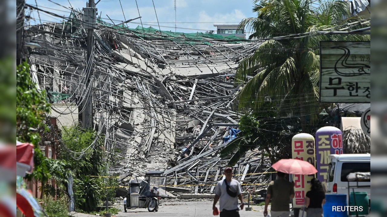
A powerful 6.3-magnitude earthquake struck near the southern Philippines, centered near Sarangani island. No tsunami threat has been reported.
Key Takeaways
- Magnitude of the earthquake was recorded at 6.3.
- Epicenter was located 32km southwest of Sarangani Island.
- No tsunami warning has been issued by authorities.
A significant seismic event rocked the waters off the southern coast of the Philippines on Wednesday. According to the Pacific Tsunami Warning Center, the earthquake struck at a depth of approximately 62 kilometers, sending tremors through the region.
The epicenter of the quake was identified as being roughly 32 kilometers (about 20 miles) southwest of the small island of Sarangani. While the magnitude was substantial enough to cause concern, emergency response agencies confirmed that the movement did not trigger any tsunami warnings.
Why This Matters
BozokMedia analysis shows that the Philippines sits directly atop the highly volatile Pacific Ring of Fire. Frequent seismic activity in this region requires constant monitoring to distinguish between localized tectonic shifts and potential large-scale maritime disasters like tsunamis.
The depth and epicenter location are critical metrics in determining whether a subsea quake will displace enough water to create a tsunami.
Historical Background
The Philippine archipelago is one of the most seismically active zones on Earth. Due to the convergence of multiple tectonic plates, the region experiences hundreds of earthquakes annually, ranging from minor tremors to devastating high-magnitude events that shape the nation's disaster preparedness protocols.
Frequently Asked Questions
Question 1: Was there a tsunami risk after the quake?
Answer: No, authorities have confirmed that no tsunami warning was issued following the 6.3-magnitude tremor.
Question 2: Where exactly was the earthquake centered?
Answer: The epicenter was located 32 kilometers southwest of Sarangani Island.