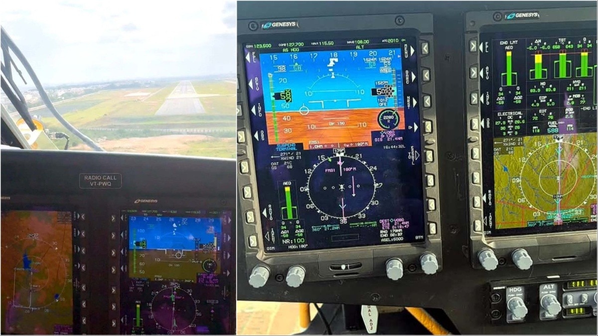
HAL Airport has launched India's first RNP CAT H helicopter approach system. This satellite-based technology ensures precise and safe landings even in adverse weather conditions.
Key Takeaways
- India's first RNP CAT H helicopter approach system launched at HAL Airport.
- Reduces helicopter approach time from 12 minutes to just 4 minutes.
- Enables safe navigation through urban obstacles and rough terrain.
- Significantly improves fuel efficiency and passenger safety.
The HAL Airport in Bengaluru has added a landmark chapter to Indian aviation history. The country's first Required Navigation Performance Category H (RNP CAT H) helicopter approach system has been commissioned. This advanced satellite-based precision navigation system is specifically engineered to assist helicopters in navigating complex environments with high accuracy.
Developed by the Airports Authority of India (AAI), the system underwent rigorous flight testing by HAL's test pilots and has received official validation from the Directorate General of Civil Aviation (DGCA). This allows helicopters to fly optimized paths, avoiding urban obstacles and rugged terrains, ensuring all-weather accessibility.
Why This Matters
BozokMedia analysis shows that this technological leap is crucial for the expanding helicopter ecosystem in India. By reducing the approach time from 12 minutes to a mere 4 minutes, the system drastically cuts down fuel consumption and increases airspace capacity. This is particularly vital for high-traffic airports like HAL, which sees nearly 50 helicopter movements daily.
The implementation of RNP CAT H approach significantly enhances safety, efficiency, and accessibility for helicopter operations.
The impact on Air Ambulances and search-and-rescue missions cannot be overstated. In regions like the Northeast or mountainous states where weather conditions are unpredictable, this system will be a life-saving tool by ensuring timely and safe arrivals.
Frequently Asked Questions
1. What is RNP CAT H?
It is a modern satellite-guided precision navigation system designed specifically for rotary-wing aircraft (helicopters) to provide highly accurate flight paths.
2. How does it help in bad weather?
It uses high-precision satellite signals to guide pilots through safe corridors, even when visibility is low or weather is turbulent.