Powerful storms are expected to hit the New York City and tri-state area this Tuesday, bringing risks of flash flooding, damaging winds, and potential tornadoes.
Key Takeaways
- High risk of flash flooding across the NYC and tri-state area.
- Potential for damaging straight-line winds and tornado activity.
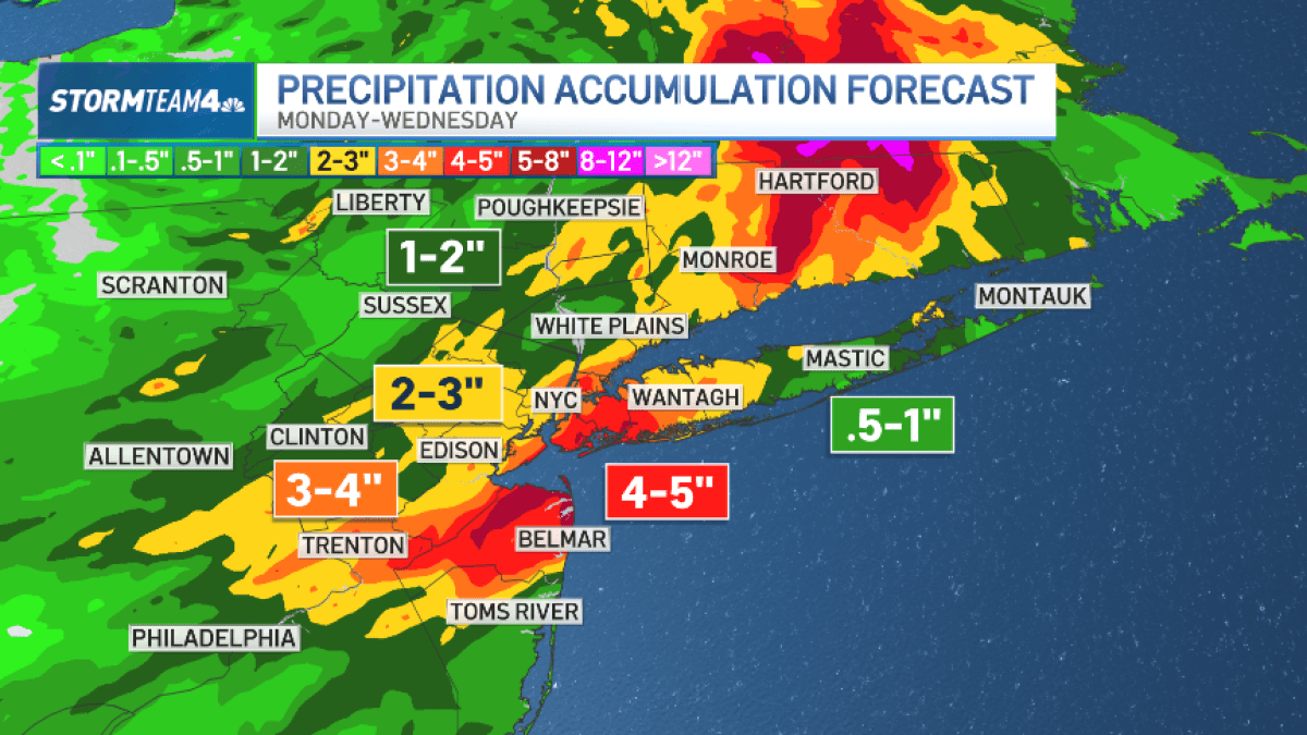
- Central and South Jersey identified as high-risk zones.
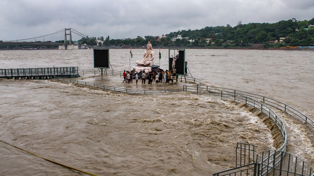
Another summer storm cycle is approaching the New York City metropolitan area, bringing significant weather threats. Tuesday's forecast indicates a high probability of flash flooding, particularly in regions already saturated by previous rainfall.
Multi-Hazard Weather Threat
The threat extends beyond mere precipitation. Meteorologists warn that afternoon and evening storms could escalate into severe weather events, including damaging straight-line winds and even tornadoes. These conditions pose a direct threat to life and property across the region.
Why This Matters
BozokMedia analysis shows that the combination of saturated ground and intense rainfall creates a 'perfect storm' scenario for urban flooding. In densely populated areas like the tri-state region, even minor delays in drainage can lead to massive logistical disruptions and safety hazards.
The convergence of moisture and atmospheric instability makes Tuesday a high-stakes day for emergency responders.
Historical Background
In recent years, the tri-state area has seen an increase in extreme summer weather patterns. Rapidly intensifying storms have become more frequent, testing the resilience of New York's aging infrastructure and drainage systems.
Frequently Asked Questions
Q1: Which areas are most at risk?
A: Central and South Jersey are expected to face the most severe weather impacts.
Q2: What should I prepare for?
A: Monitor local weather alerts and avoid driving through flooded roadways.