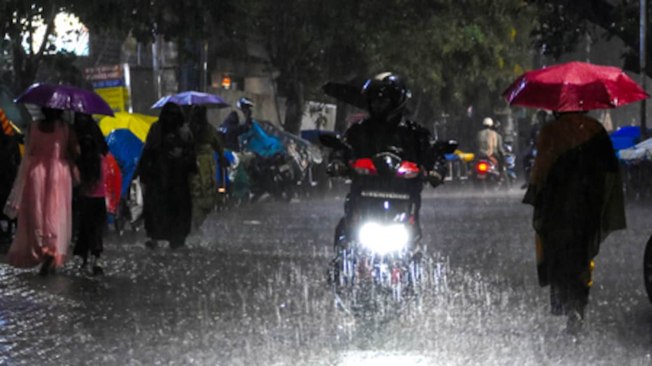
Dry air currents from the northwest are obstructing monsoon moisture, potentially leading to reduced rainfall across Delhi-NCR, Punjab, Haryana, and Gujarat.
Following the recent impact of El Niño, a new meteorological challenge has emerged for the Indian subcontinent. Dry air currents emanating from the northwest are currently obstructing the path of moisture-laden monsoon winds, leading to a noticeable slowdown in rainfall activities across several key states. According to the India Meteorological Department (IMD), this shift is expected to impact Delhi-NCR, Punjab, Haryana, Rajasthan, Gujarat, and western Madhya Pradesh.
The Mechanics of Monsoon Disruption
The Indian monsoon relies heavily on moisture influx from the Arabian Sea and the Bay of Bengal. However, the current influx of hot, dry air from the northwest acts as a barrier, reducing humidity levels and hindering the cloud formation process. This atmospheric phenomenon is expected to persist until at least July 13, causing skies to remain relatively clear and sunny in the northwestern belt.
Looking Ahead: A Potential Revival
Despite the temporary lull, meteorologists suggest there is no cause for long-term alarm. Forecast models indicate that a new Low Pressure System (LPS) is slated to form over the Bay of Bengal between July 13 and July 15. As this system migrates westward, it is anticipated to reinvigorate the monsoon, bringing much-needed rainfall to central and eastern parts of the country.
Regional Forecast and Implications
While the northwest faces a dry spell, the Indo-Gangetic plains and the Northeast states are expected to continue receiving significant rainfall. For the remainder of July, weather models predict that while rainfall may be below average in the west and south, the overall national monsoon average is likely to remain within the normal range. This regional variability highlights the complex interplay of atmospheric pressures during the monsoon season.