As China builds massive dams on the Yarlung Tsangpo, India faces a precarious future where river data is used as a tool of political leverage rather than a public good.
- China treats river flow data as a strategic asset, sharing or withholding it based on bilateral relations.
- The massive 60 GW Medog hydropower project poses an 'existential threat' to India's Northeast.
- The lack of a binding water treaty leaves India vulnerable to sudden hydrological changes.
India’s most vital river systems originate in a region controlled by China, a nation that treats hydrological data as a strategic lever to be switched on or off. The Brahmaputra, known as the Yarlung Tsangpo in Tibet, enters India as the Siang. Alongside the Sutlej and Indus, these rivers are the lifelines of millions, yet India’s knowledge of them is entirely dependent on Beijing's willingness to share.
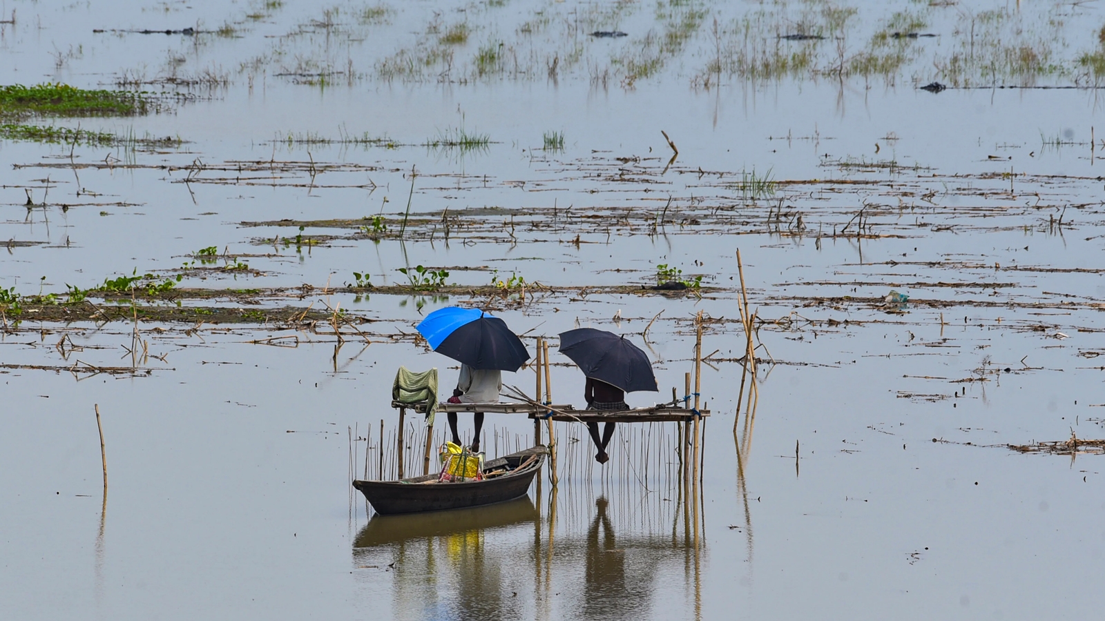
Unlike many international river systems, there is no comprehensive water treaty between India and China. Instead, the relationship relies on two flimsy flood-season memorandums (2002 and 2005). These are non-binding and can be suspended at any time. We saw this in 2017 during the Doklam standoff, when China ceased data sharing, complicating flood predictions in Assam. This demonstrates that water data is not being treated as a neutral public good, but as a diplomatic bargaining chip.
Why This Matters
BozokMedia analysis shows that the weaponization of water data creates a massive security vacuum. When upstream states control the information flow, downstream nations cannot prepare for disasters, making water a tool of coercion in modern warfare and diplomacy.
"That is a river that flows into India, and we can stop it any time we want." — A remark by a Chinese scholar regarding Tibet's rivers.
The escalation is visible in the Medog project. Located at the Great Bend of the Yarlung Tsangpo, this 60 GW project is set to be the world’s largest hydropower facility. Situated in a highly seismic zone, it poses a dual threat: the potential for controlled water diversion and the catastrophic risk of dam failure during an earthquake, which would devastate the Siang Valley in Arunachal Pradesh.
This opacity is a direct result of how China governs Tibet. However, the article notes that India has also been part of the problem by settling for paid data rather than pushing for a binding, basin-wide legal framework. Furthermore, India’s own use of the Indus Waters Treaty as a lever against Pakistan reflects the same logic of water as a geopolitical tool.
| Feature | India-China Framework | Senegal River Model |
|---|---|---|
| Legal Status | Non-binding Memorandums | Jointly Owned Property |
| Data Sharing | Discretionary/Political | Mandatory/Shared |
| Stability | Vulnerable to Tension | Resilient to War |
Frequently Asked Questions
1. Why doesn't India have a formal treaty with China regarding rivers?
Current relations are governed by non-binding memorandums rather than a formal treaty, which lacks the legal teeth to ensure consistent data sharing.
2. What is the Medog project?
It is a massive hydropower project in Tibet that could significantly impact the water flow into India's Arunachal Pradesh.