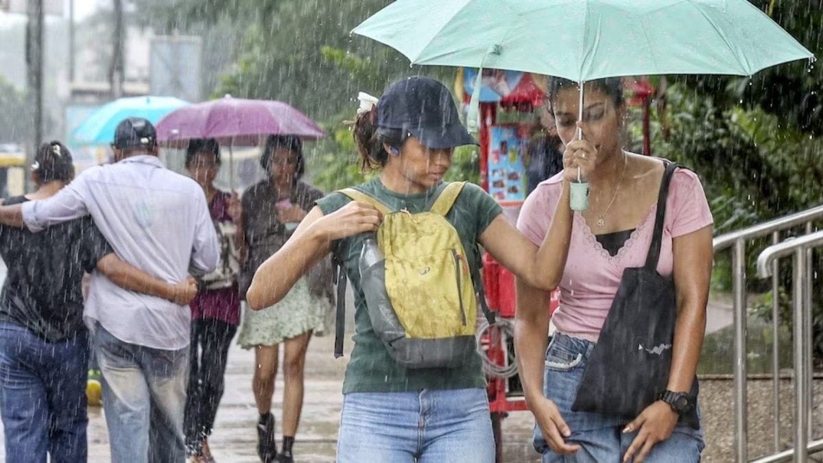
The India Meteorological Department (IMD) has issued a thunderstorm and rain alert for Eastern Uttar Pradesh, while Western UP is expected to remain dry. A potential low-pressure area in the Bay of Bengal is set to shift the weather dynamics.
- Moderate rain and thunderstorms expected in Eastern UP for the next 48 hours.
- Western UP to remain largely dry due to a weakening monsoon trough.
- Low-pressure system in the Bay of Bengal may trigger increased rainfall across the state.
- Lucknow to experience partial cloud cover and light showers with temperatures around 34°C.
Weather patterns across Uttar Pradesh are exhibiting significant regional divergence in the second week of September. According to the India Meteorological Department (IMD), Eastern UP is currently under the influence of an active monsoon trough, leading to predictions of light to moderate rainfall accompanied by lightning and thunderstorms in several districts of the Purvanchal region.
Conversely, Western Uttar Pradesh is experiencing a dry spell. Meteorologists attribute this to the weakening of the western end of the monsoon trough, which has significantly reduced precipitation activities in the western districts. However, the trough continues to pass through the central parts of Eastern UP, maintaining atmospheric instability in that zone.
Why This Matters
BozokMedia analysis shows that this uneven distribution of rainfall can create a dual impact on the state's economy. While timely rains in the east support Kharif crops, the prolonged dry heat and humidity in the west could lead to increased energy consumption and potential heat-related health risks for the urban population.
"The development of a low-pressure area over the North Bay of Bengal is the key catalyst that could revive monsoon activities in the western parts of the state soon."
In the capital city of Lucknow, the weather is expected to remain volatile. The IMD predicts partial cloudiness with intermittent thunderstorms and light showers. The maximum temperature is forecasted to be around 34°C, while the minimum will hover around 27°C. Despite the showers, high humidity levels are expected to keep the 'real feel' temperature higher.
Recent data confirms the rain concentration in the east: Bahraich recorded 27.4 mm, Azamgarh 22.2 mm, and Ghazipur 16.4 mm. This stark contrast highlights that the monsoon's current strength is localized primarily in the eastern belt of the state.
| Region | Weather Condition | Potential Impact |
|---|---|---|
| Eastern UP | Thunderstorms & Rain | Temperature drop, Agricultural boost |
| Western UP | Dry & Humid | Increase in heat and humidity |
| Lucknow | Cloudy with Showers | Moderate temp, High humidity |
Frequently Asked Questions
1. When will Western UP receive rain?
According to the IMD, rain activities in Western UP are likely to increase in the coming days as the low-pressure system in the Bay of Bengal moves inland.
2. What is the temperature forecast for Lucknow?
Lucknow is expected to have a maximum temperature of 34°C and a minimum of 27°C.