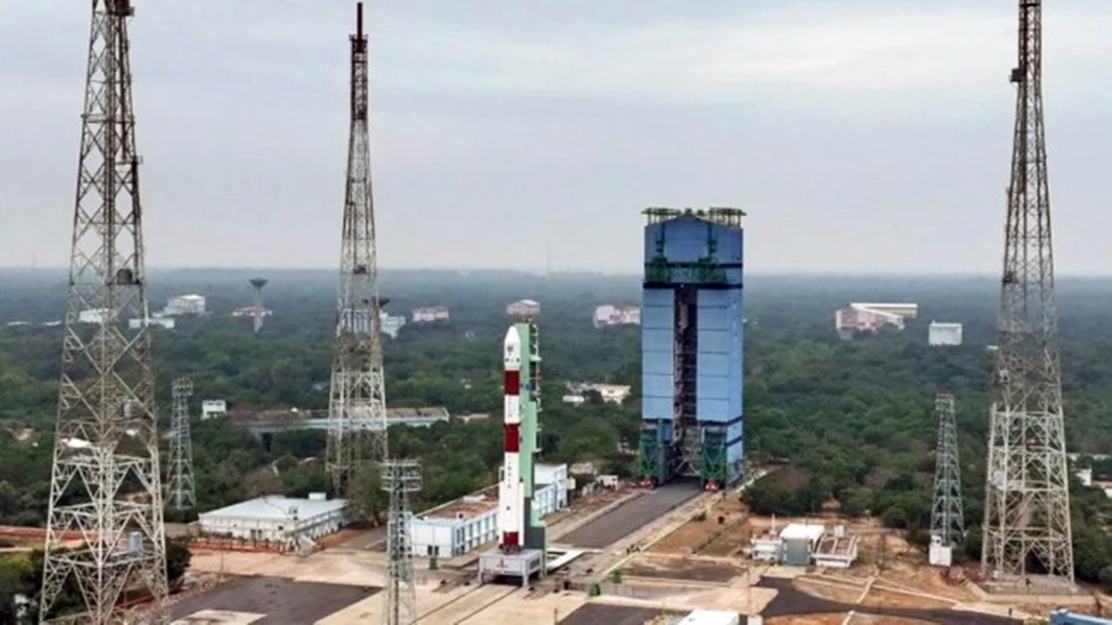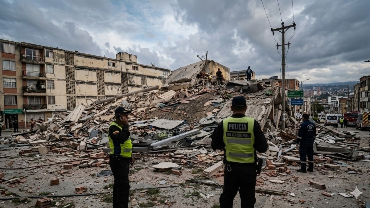
Joint ISRO‑NASA NISAR mission has uncovered a ground displacement of up to 60 cm (2 feet) across northern Venezuela after the twin quakes on June 24, intensifying devastation in Caracas and La Guaira.
Key Takeaways
- Two strong quakes on June 24 shifted the ground by up to 60 cm (≈2 feet) in northern Venezuela.
- ISRO‑NASA’s NISAR satellite used InSAR to map both horizontal and vertical displacement.
- The shift amplified destruction in Caracas, La Guaira and surrounding states.
On June 24, a magnitude 7.2 earthquake struck northern Venezuela, followed 39 seconds later by a magnitude 7.5 shock. The combined events caused over 5,000 deaths and roughly 16,700 injuries, ravaging the capital Caracas, the port city La Guaira, and the states of Trujillo, Yaracuy, Carabobo, Aragua and Miranda.
The joint ISRO‑NASA NISAR mission captured satellite imagery before (June 13‑18) and after (June 25‑30) the quakes. By applying Interferometric Synthetic Aperture Radar (InSAR), analysts compared the phase differences to quantify minute changes in the satellite‑ground distance.
Results indicated that in several locations the earth’s surface moved horizontally by as much as 60 cm (about 2 feet). The most pronounced shift occurred just north of Caracas’s international airport, where the fault line re‑emerged after moving offshore eastward. This displacement directly contributed to the extensive structural damage observed.
The findings underscore the critical role of high‑resolution satellite monitoring for rapid disaster response and future urban planning in seismically active regions.
By integrating such precise measurements, authorities can prioritize reconstruction, adapt building codes, and improve early‑warning systems, potentially saving countless lives in future events.
Historical Background
Satellite‑based deformation monitoring has been employed after major earthquakes before, but this is the first time NISAR’s “Argent Response System” has delivered a comprehensive horizontal‑vertical displacement map for a single event.
Why This Matters
BozokMedia analysis shows that such high‑resolution satellite insights empower governments and NGOs to design smarter, pre‑emptive infrastructure, potentially saving thousands of lives in future seismic events.
"InSAR gave us a precise picture of the ground’s movement after the quake, enabling us to formulate an accurate reconstruction strategy," said Dr. Anita Sharma, geophysicist.
Frequently Asked Questions
Q1: What technology does the NISAR satellite use?
A: It employs Interferometric Synthetic Aperture Radar (InSAR) to detect both horizontal and vertical ground displacement.
Q2: How can this data help future disaster management?
A: The detailed displacement maps enable better risk assessment, urban planning, and insurance modeling for future earthquakes.