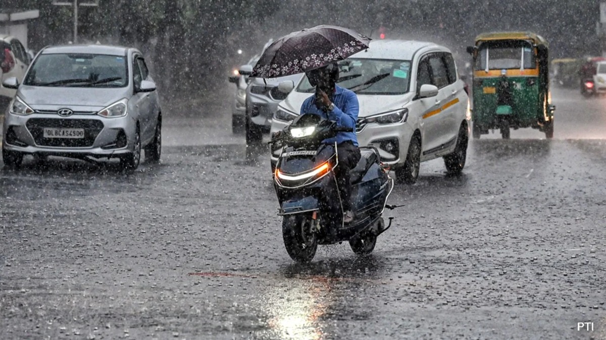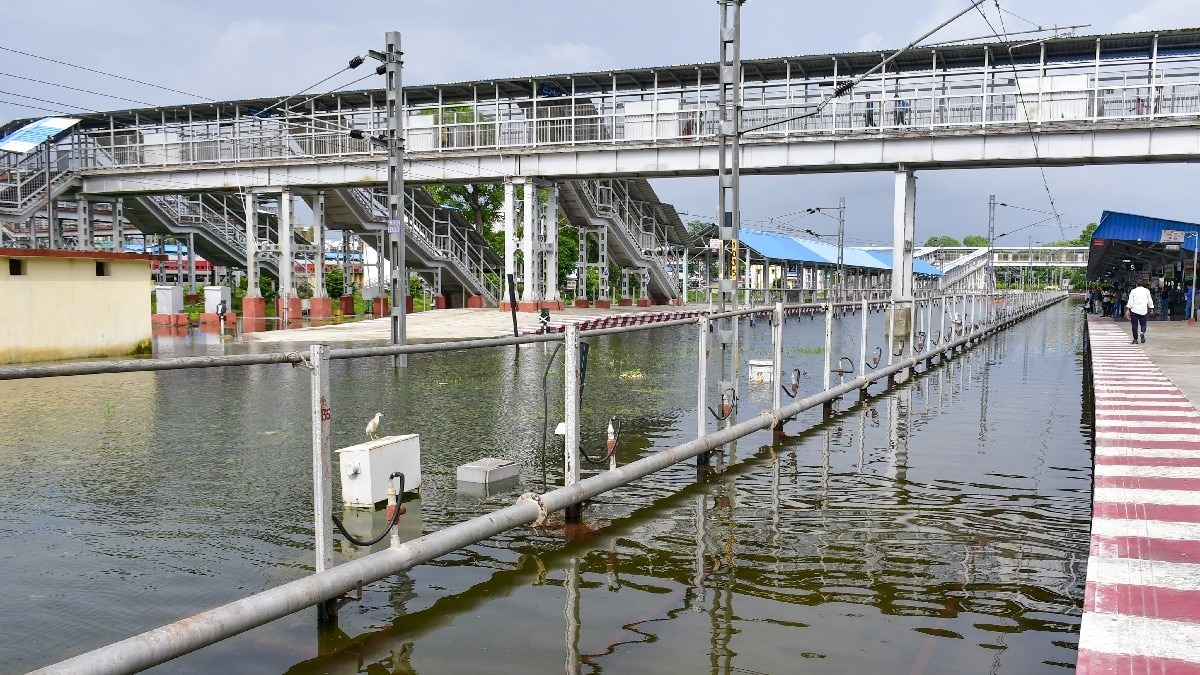
A weather emergency has been declared in Alabama as heavy storms bring flood risks this Saturday, followed by a dangerous heatwave early next week.
Key Takeaways
- Flood Watch in effect for multiple counties through Saturday evening.
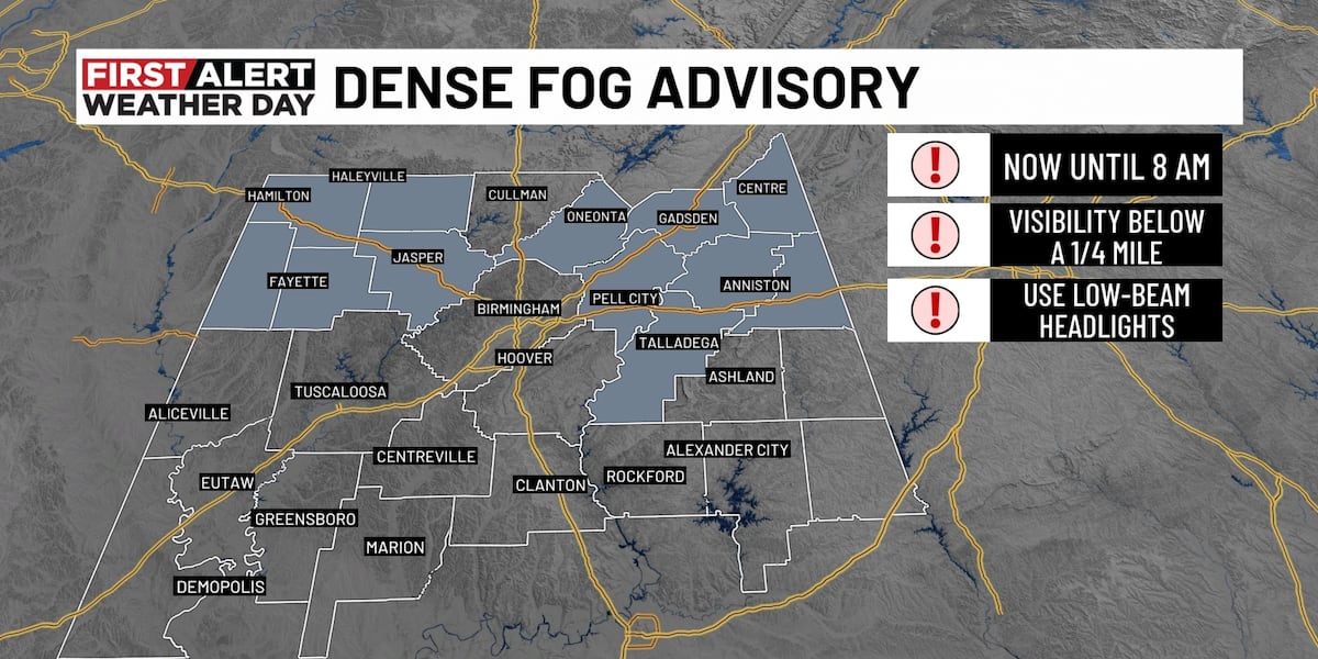
- Dense fog advisory issued for areas near Interstate 20.
- Extreme heatwave predicted for Monday and Tuesday.
- Heat index could soar between 105°F and 110°F next week.
Weather officials have officially declared a First Alert Weather Day for Saturday, July 25, 2026, due to the high potential for scattered showers and severe thunderstorms. These storms are expected to trigger localized flooding across several regions, including Winston, Walker, Jefferson, St. Clair, Blount, Etowah, Cherokee, Calhoun, and Cleburne Counties. The Flood Watch remains active until 7 p.m.
Why This Matters
BozokMedia analysis shows that sudden, intense rainfall can drop several inches in just one hour, making flash floods a significant threat to motorists and residents. The golden rule remains: 'Turn around, don't drown!' Driving through flooded roadways is the leading cause of weather-related fatalities.
Rapidly developing storms can transform calm streets into dangerous waterways within minutes.
In addition to the rain, a Dense Fog Advisory has been issued for areas along and north of Interstate 20. While visibility is improving in central Alabama, commuters should remain cautious of patchy fog during the early morning hours. Temperatures are expected to climb into the upper 80s this afternoon under cloudy skies.
Upcoming Heatwave Warning
The weather pattern is set to shift dramatically by early next week. A ridge of high pressure will trigger a dangerous heatwave on Monday and Tuesday (July 27-28). Forecasters warn that afternoon temperatures could hit the upper 90s, with heat indices reaching a staggering 105°F to 110°F in parts of West Alabama.
Frequently Asked Questions
1. Which counties are under a flood watch?
Winston, Walker, Jefferson, St. Clair, Blount, Etowah, Cherokee, Calhoun, and Cleburne counties.
2. How should I prepare for the upcoming heatwave?
Stay hydrated, wear light clothing, and limit outdoor activities during peak afternoon hours.