The India Meteorological Department (IMD) has issued a heavy rain alert for several districts in Uttar Pradesh, particularly in Eastern UP, due to active monsoon systems.
- Heavy rain alert issued for Eastern Uttar Pradesh on August 19.
- A weather system over Jharkhand and West Bengal is driving the monsoon activity.
- Extremely heavy rainfall is predicted for the region between August 20-23.
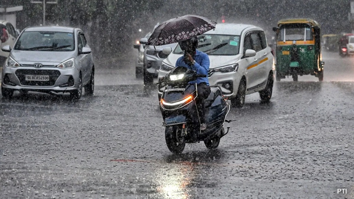
- Commuters are advised to stay cautious of waterlogging and low visibility.
The monsoon has regained significant strength across Uttar Pradesh. According to the latest bulletin from the India Meteorological Department (IMD), heavy rainfall is expected on August 19 across various parts of the state. The most intense activity is predicted in Eastern Uttar Pradesh (Purvanchal), where residents should prepare for heavy downpours.
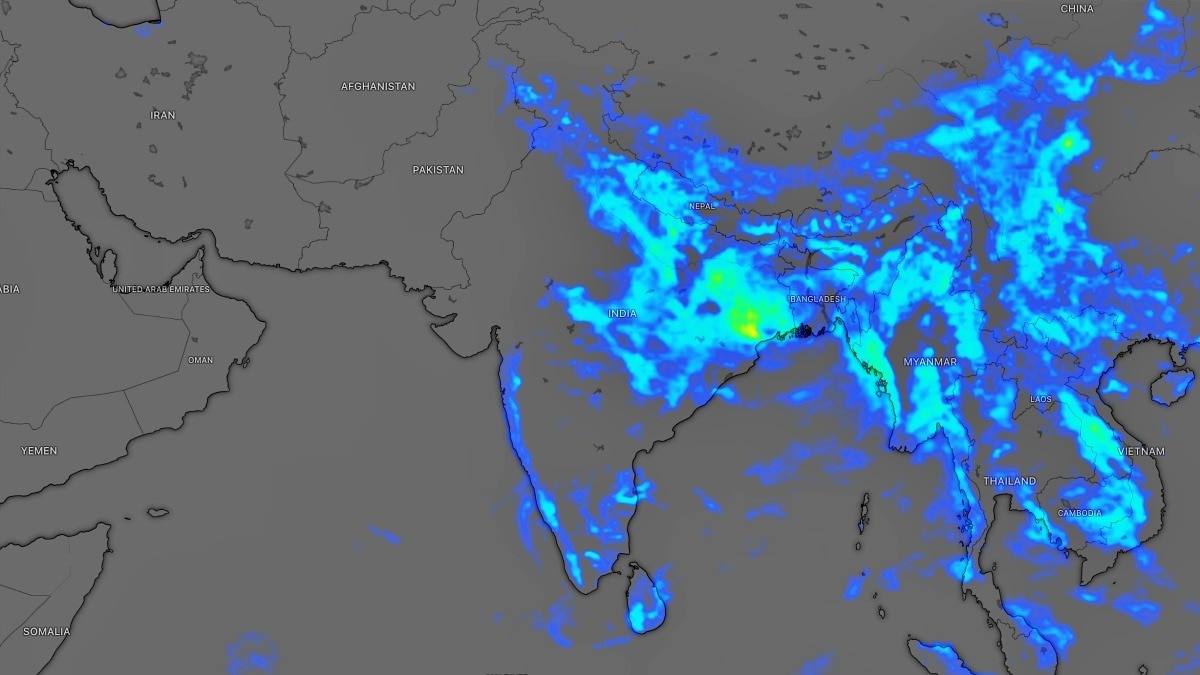
The meteorological center in Lucknow has highlighted that the monsoon's intensity is being fueled by a low-pressure system located over Jharkhand and North Gangetic West Bengal. This system is moving in a west-north-west direction, directly impacting the weather patterns in UP. Recent data shows that Varanasi's Babatpur recorded 5 cm of rain in just 24 hours, signaling the onset of this heavy spell.
Why This Matters
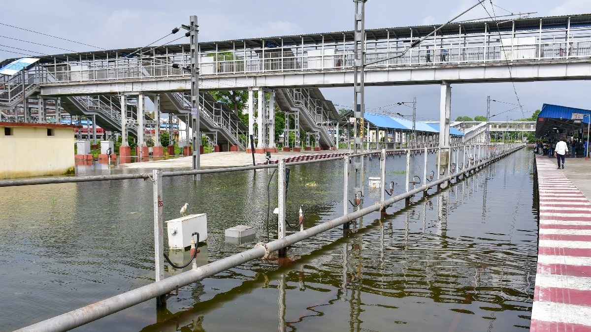
BozokMedia analysis shows that while the monsoon is crucial for the agrarian economy of Uttar Pradesh, the sudden intensity of rainfall poses significant risks to urban infrastructure. Prolonged heavy rain can lead to severe waterlogging in cities like Kanpur and Lucknow, disrupting daily commutes and potentially damaging low-lying residential areas.
Continuous heavy rainfall over the next few days may lead to localized flooding and reduced visibility on major highways.
Looking ahead, the weather outlook remains grim for Eastern UP. The IMD has forecasted 'heavy to very heavy' rainfall for August 20 and 21. This trend is expected to persist until August 23, making it a critical period for disaster management authorities to monitor river levels and drainage systems.
In contrast, Western Uttar Pradesh might experience a slightly different pattern. While rain is expected, there is also a possibility of intermittent sunshine and partly cloudy skies, providing some relief compared to the torrential rains in the east. However, residents in central UP, including Lucknow, should remain alert for localized thunderstorms and lightning.
Frequently Asked Questions
1. Which parts of UP are most at risk?
Eastern Uttar Pradesh, including Varanasi and surrounding Purvanchal districts, is under the highest alert.
2. How will the rain affect travel?
Heavy rain can cause waterlogging and low visibility, making long-distance travel difficult; checking local updates is advised.