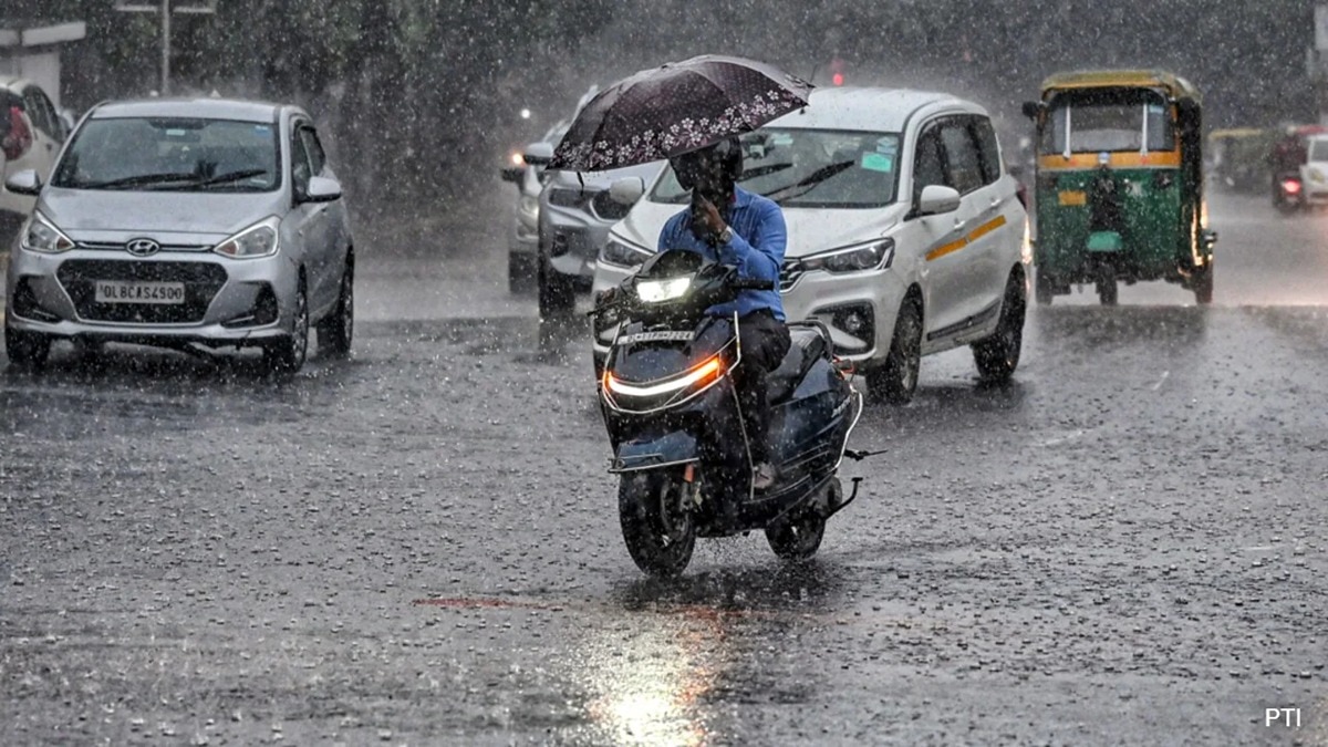
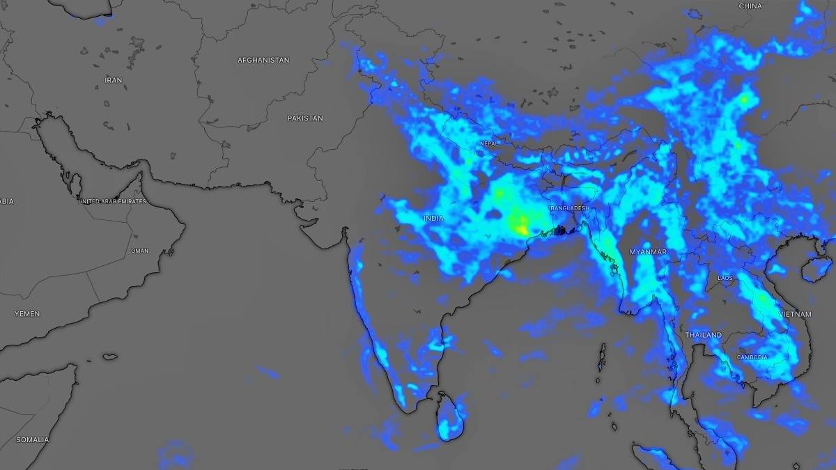
The India Meteorological Department (IMD) has issued a widespread alert for torrential rain and high-speed winds across 23 states. Heavy downpours and gusts up to 85 km/h are expected in Uttar Pradesh, Bihar, and Jharkhand.
- Torrential rain and storm alert for 23 Indian states.
- Heavy rainfall predicted in UP, Bihar, Jharkhand, and Delhi.
- Wind speeds could reach up to 85 km/h.
- Cyclonic activity in the Bay of Bengal driving the weather pattern.
The India Meteorological Department (IMD) has sounded a major alarm, forecasting intense weather conditions across a vast portion of the country. Within the next 16 hours, 23 states are expected to witness torrential rainfall accompanied by severe thunderstorms. The meteorological shift is being described by experts as a significant atmospheric disturbance.
Regions including Uttar Pradesh, Bihar, Jharkhand, and the National Capital Territory of Delhi are on high alert. According to the latest updates, the cyclonic circulation in the Bay of Bengal is intensifying the monsoon currents, leading to widespread precipitation. High-velocity winds, reaching speeds of up to 85 km/h, are expected to lash several parts of the country.
Why This Matters
BozokMedia analysis shows that such extreme weather events pose a dual threat to both urban infrastructure and rural agriculture. While cities face the immediate risk of severe waterlogging and transport paralysis, the agricultural sector remains vulnerable to crop damage due to prolonged inundation and storm winds.
Meteorological experts suggest that the current cyclonic activity in the Bay of Bengal will likely sustain this aggressive monsoon pattern for the next 48 hours.
From the foothills of the Himalayas to the plains of Jharkhand, the alert covers a diverse geographical spectrum. Authorities have been advised to issue local warnings to residents in low-lying areas to mitigate the risk of flash floods.
Historical Background
The Indian monsoon is heavily influenced by pressure systems in the Bay of Bengal and the Arabian Sea. In recent years, shifting global climate patterns have led to an increase in 'extreme weather events,' where heavy rainfall is concentrated in shorter, more violent windows, making forecasting and disaster management more complex.
Frequently Asked Questions
1. Which states are most affected by this alert?
Uttar Pradesh, Bihar, Jharkhand, West Bengal, and Delhi are among the most high-risk states.
2. How strong will the winds be?
The IMD predicts wind speeds could gust as high as 85 km/h in certain regions.