Widespread monsoon activity continues across India, with the IMD warning of heavy to very heavy rainfall in several regions including the Gangetic plains and the Northeast.
Key Takeaways
- IMD has issued heavy to very heavy rainfall warnings for multiple Indian regions.
- The ECMWF model predicts active rain systems will persist until at least Sunday.
- Delhi-NCR and the Gangetic plains are expected to face significant precipitation.
- The monsoon trough is actively driving moisture into the subcontinent.
The monsoon is currently on a roll across the Indian subcontinent, bringing widespread rainfall to various regions. The India Meteorological Department (IMD) has issued warnings for heavy to very heavy rainfall across parts of northwest, central, eastern, northeastern, and peninsular India. Residents in these vulnerable areas should prepare for thunderstorms, lightning, and potential localized flooding.
Rainfall Forecast and Projections
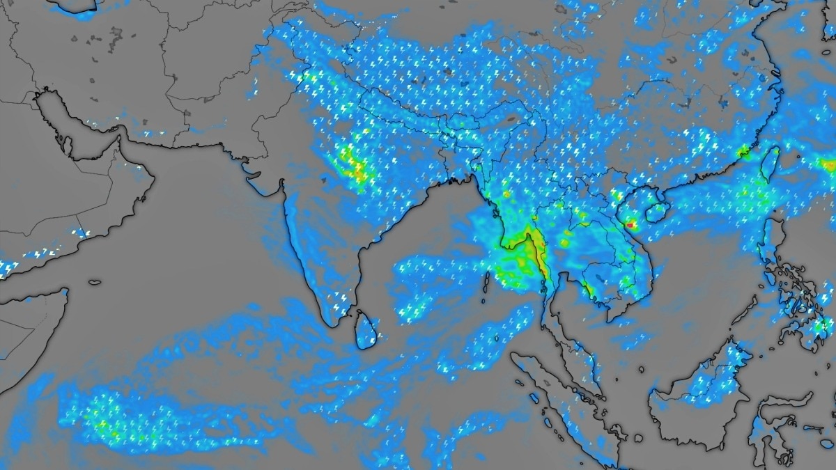
According to the latest data from the European Centre for Medium-Range Weather Forecasts (ECMWF), rain-bearing systems are expected to remain active through the weekend. Moderate to heavy rainfall is projected for central India, northern states, the east coast, and the Northeast through Thursday night. This pattern is expected to continue through Friday and Saturday, with widespread showers hitting the Gangetic plains and parts of southern India.
Why This Matters
BozokMedia analysis shows that while the monsoon is vital for India's agricultural economy, the intensity of current spells poses significant risks to urban infrastructure. The heavy downpours in the NCR region have already demonstrated how quickly waterlogging can disrupt daily life and transportation networks.
The sustained strength of the monsoon trough is acting as a continuous engine, pulling moisture across the country to fuel these intense spells.
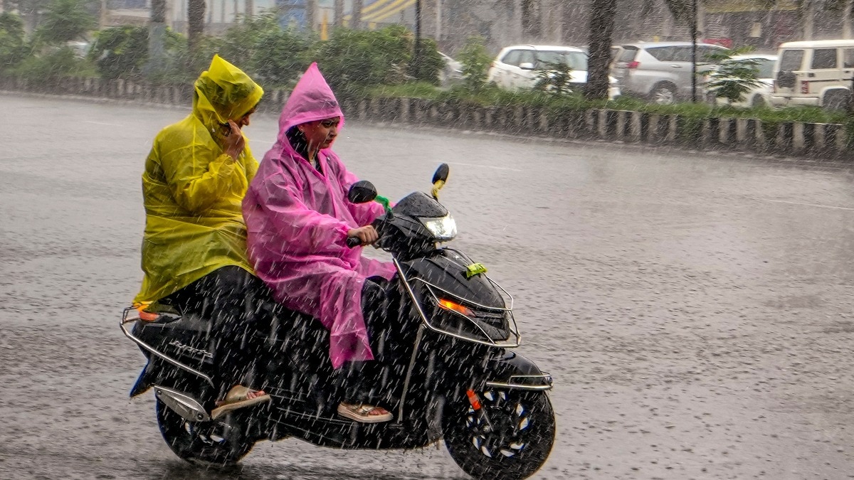
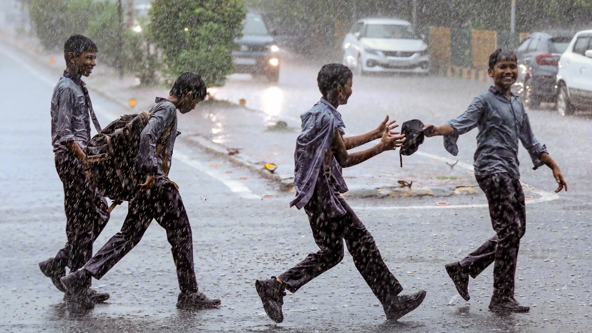
In Delhi-NCR, the impact has been immediate. Safdurjung recorded 56 mm of rainfall during a recent spell, leading to significant waterlogging. Similar conditions are expected in the Himalayan belt and the Western Ghats, where different weather systems are supporting ongoing monsoon activity.
Historical Background
The Southwest Monsoon is the lifeblood of the Indian subcontinent, typically arriving in June. While seasonal variations are normal, the current lack of a 'monsoon break'—a period of dry weather—is notable for the continuous intensity of the precipitation observed this week.
Frequently Asked Questions
1. When is the current rain spell expected to end?
Current weather models suggest that the active spell will likely persist until at least early Sunday.
2. Which areas are at highest risk of flooding?
Vulnerable areas in the Northeast, central India, and the Gangetic plains are at higher risk due to predicted heavy rainfall.