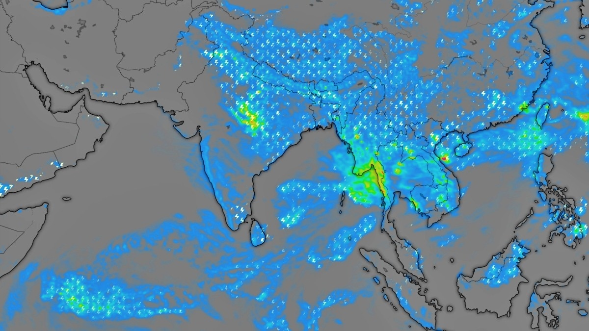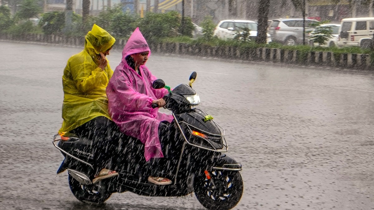
A low-pressure system over North-West India is set to trigger widespread heavy rainfall, thunderstorms, and high-speed winds across Uttar Pradesh, Bihar, and the Himalayan belt.
- A low-pressure area has formed over North-West India, specifically near UP and Bihar.
- Heavy to very heavy rainfall predicted for UP, MP, and Chhattisgarh.
- Thunderstorms and high-speed winds (up to 60 kmph) expected in hilly regions.
- Monsoon trough is active from Ferozepur to the Bay of Bengal.
The India Meteorological Department (IMD) has issued a massive weather alert for North and Central India. A low-pressure system, which weakened from a depression on August 19, is currently moving in a west-north-west direction. This system, combined with an active monsoon trough, is expected to bring intense precipitation to several states including Uttar Pradesh, Bihar, Madhya Pradesh, and Chhattisgarh.
Regional Impact: From Plains to Mountains
In Uttar Pradesh, the weather is expected to remain volatile. Western UP may witness heavy to very heavy rainfall on August 20 and 22. Meanwhile, South-Eastern UP is on high alert for extremely heavy downpours accompanied by gusty winds reaching 60 km/h. In the Himalayan regions, including Uttarakhand and Himachal Pradesh, the risk of landslides and flash floods remains high due to continuous heavy showers.
Why This Matters
BozokMedia analysis shows that the movement of this low-pressure area across the Indo-Gangetic plains significantly impacts both agricultural cycles and urban infrastructure. While the rain is vital for groundwater recharge, the sudden intensity of such systems often leads to urban flooding and disrupts transport networks in the hill states.
The convergence of the low-pressure area and the monsoon trough is creating a high-moisture corridor across North India.
The northernmost parts of the country, including Jammu & Kashmir and Ladakh, are also not exempt from this weather pattern. Heavy rainfall and thunderstorms are predicted in districts like Baramulla and Anantnag. Additionally, the North-Eastern states, including Assam and Meghalaya, are expected to experience varying degrees of heavy rain.
Frequently Asked Questions
1. Will Delhi face heavy rain?
Delhi-NCR is expected to see cloudy skies and intermittent light rain with wind speeds of 40-50 km/h, rather than extreme downpours.
2. Which states are at highest risk?
Uttar Pradesh, Chhattisgarh, and the hilly states of Uttarakhand and Himachal Pradesh are under the highest alert.
| Region | Rainfall Intensity | Wind Speed (Est.) |
|---|---|---|
| Uttar Pradesh | Heavy to Very Heavy | 60 km/h |
| Himalayan States | Heavy | 55-60 km/h |
| Delhi-NCR | Moderate/Light | 45 km/h |