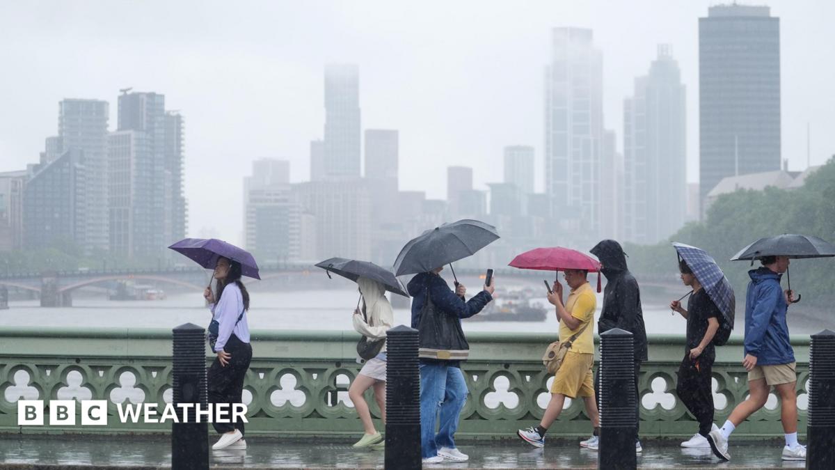
Following a summer of intense heatwaves, the UK is bracing for heavy thunderstorms and potential flash flooding. Arctic air is set to bring a significant drop in temperatures.
- Heavy thunderstorms and hail are forecast for parts of the UK.
- Flash flooding risk is heightened due to compacted, drought-stricken soil.
- Arctic air will drive temperatures down to below-average levels.
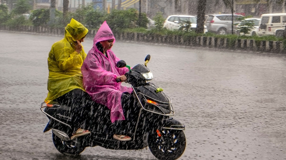
The United Kingdom is preparing for a dramatic shift in weather patterns. After a summer defined by record-breaking heatwaves and widespread drought, meteorologists are warning of heavy showers, thunderstorms, and the imminent risk of flash flooding across several regions.
Forecasts indicate that while much of the country will see wet weather, the distribution will be uneven. Northern Ireland, Northern Scotland, and North-west England are expected to bear the brunt of the heavy rainfall, whereas parts of South-east England may remain largely dry, missing out on much-needed relief.
The Science of Summer Flash Floods
A critical concern for emergency services is the phenomenon of flash flooding. As 71.3% of England and the entirety of Wales are currently experiencing drought conditions, the ground has become extremely hard and compacted. This makes the soil water-repellent.
When intense summer thunderstorms dump large volumes of water on hardened, drought-stricken soil, the water cannot soak in, leading to rapid surface runoff and flash floods.
Why This Matters
BozokMedia analysis shows that this extreme weather oscillation—from record heat to sudden intense storms—is a hallmark of increasing climatic volatility. The inability of the parched landscape to absorb sudden deluges creates a secondary disaster: localized flooding that can damage infrastructure despite the ongoing drought.
Furthermore, the incoming low-pressure system is set to usher in much cooler air from the Arctic. This will bring a stark contrast to the recent heat, with temperatures in Scotland and Northern Ireland expected to hover between 13-18°C, while England and Wales will see highs of 18-22°C.
Historical Context
This weather pattern follows the driest July recorded since 1836. The transition from extreme drought to high-intensity thunderstorm activity highlights the growing unpredictability of the UK's meteorological seasons.
Frequently Asked Questions
Question 1: Will these rains solve the drought in England?
Answer: Not necessarily. Because the ground is so hard, much of the rain will run off into rivers rather than recharging groundwater or reservoirs.
Question 2: Is another heatwave expected?
Answer: While August looks cooler, long-range models suggest a potential for hot spells to develop again in early September.