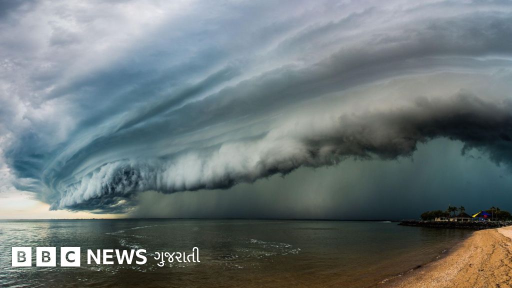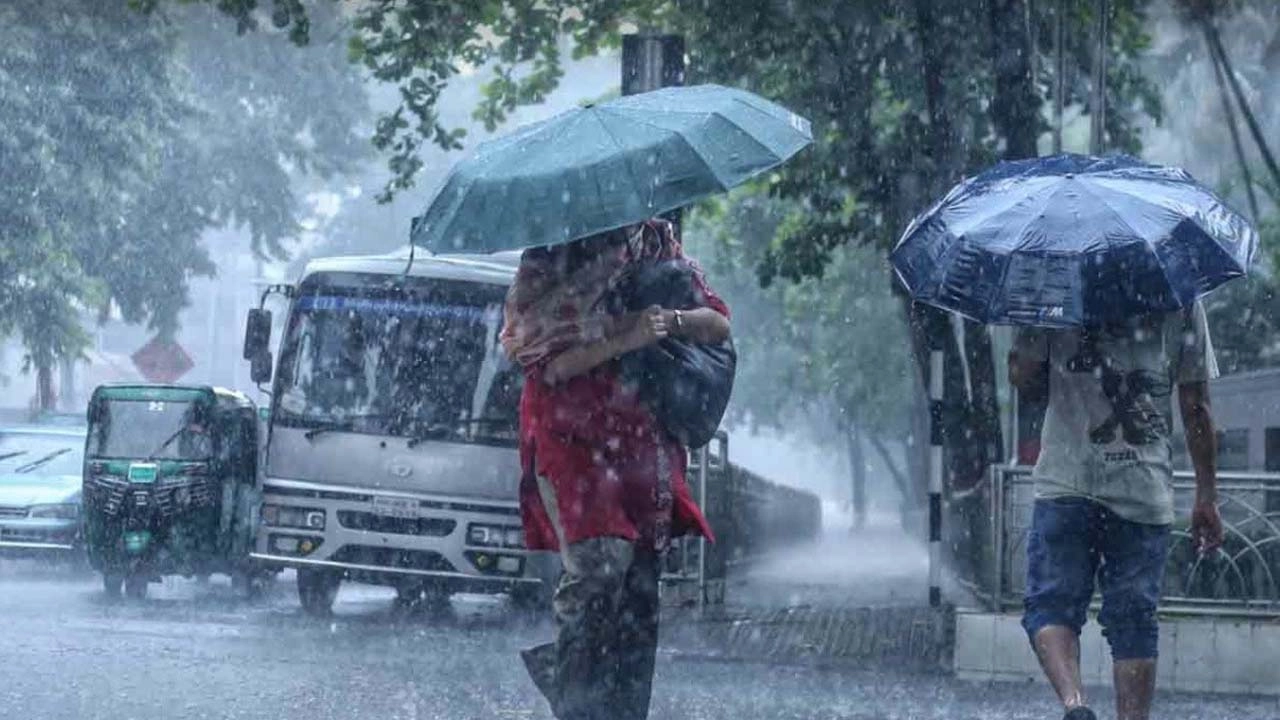
A low-pressure system has formed over the Bay of Bengal, triggering alerts for heavy to very heavy rainfall across the country. Meteorological departments have advised maritime ports to remain cautious as stormy weather threatens coastal areas and disrupts daily life.
- A low-pressure system has developed over the Bay of Bengal, threatening widespread heavy rainfall.
- Maritime ports have been advised to hoist cautionary signals due to rough sea conditions.
- Urban areas and agricultural zones are on high alert for flash floods and waterlogging.
The meteorological department has officially raised alarms following the formation of a distinct low-pressure area over the Bay of Bengal. This atmospheric development is expected to trigger intense rainfall across various divisions of the country over the next 48 to 72 hours. Coastal districts, which are highly vulnerable to tidal surges, have been placed under close monitoring as wind speeds are projected to escalate.
According to the latest weather bulletin, the system is currently gathering strength and moving in a north-northwestern direction. Meteorologists warn that if atmospheric conditions remain favorable, this low-pressure system could intensify into a well-marked low or even a depression. Consequently, squally weather is highly likely to affect the maritime ports, forcing authorities to issue cautionary signals for all incoming and outgoing vessels.
Fishermen and trawlers operating in the deep sea have been strictly advised to remain close to the coast and proceed with extreme caution. The turbulent sea conditions, coupled with heavy downpours, present significant navigation hazards. Local administrations in low-lying coastal areas have already begun preparing temporary shelters and mobilizing emergency response teams to handle potential storm surges.
Why This Matters
BozokMedia analysis shows that the rapid formation of low-pressure systems in the Bay of Bengal is increasingly tied to rising sea surface temperatures. These recurring weather anomalies disrupt regional supply chains, threaten food security by damaging standing crops, and severely test the disaster resilience of developing coastal nations.
The agricultural sector faces a dual-edged sword with this impending deluge. While the seasonal monsoon rain is vital for major crops like paddy, excessive and sudden downpours can submerge fields, destroying yields and leading to severe financial losses for farmers. Agricultural officers are advising farmers to harvest mature crops immediately and ensure proper drainage systems are functional in low-lying farmlands.
"The rapid intensification of depressions in the Bay of Bengal is a clear indicator of changing thermodynamic conditions in our oceans. Early warning systems and community-level preparedness are our strongest shields against such unpredictable weather patterns," remarked Dr. Sarah Jenkins, a leading climatologist.
Urban centers are also bracing for impact, with municipal corporations taking preemptive measures to clear drainage channels. Major cities often suffer from severe waterlogging even during moderate rain, and a heavy downpour of this scale could paralyze transport networks, suspend school operations, and disrupt power grids. Emergency control rooms have been activated to manage water evacuation in critical zones.
| Parameter | Low-Pressure System | Cyclonic Storm |
|---|---|---|
| Wind Speed | 30 - 50 km/h | 62 km/h and above |
| Sea Condition | Moderate to Rough | Very Rough to Phenomenal |
| Impact Level | Localized Flooding & Heavy Rain | Widespread Destruction & Storm Surges |
Historically, the Bay of Bengal has been a hotbed for some of the world's most devastating tropical cyclones. Over the past decade, the frequency of rapid intensification—where a weak system escalates into a severe storm in a short period—has risen dramatically. This trend underscores the urgent need for robust climate adaptation policies and upgraded meteorological infrastructure across the South Asian rim.
Frequently Asked Questions
Q1: What is a low-pressure system?
A1: It is an area where the atmospheric pressure is lower than that of the surrounding region, causing air to rise, cool, and condense into clouds, leading to rain and windy weather.
Q2: How should coastal residents prepare for heavy rainfall?
A2: Residents should secure loose structures, store essential dry food and clean water, keep emergency contacts handy, and closely follow local meteorological updates.