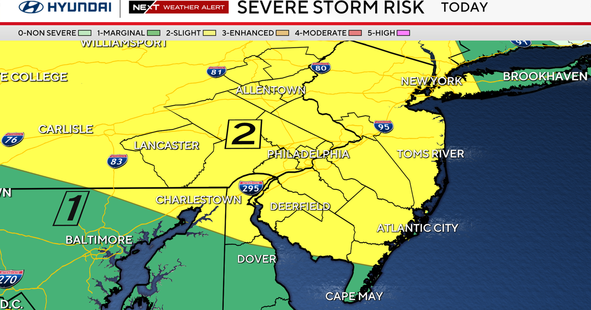
A Level 2 severe weather risk has been issued for Southeast Minnesota and Northeast Iowa, with heavy downpours and large hail expected overnight.
- A Level 2 (Slight Risk) alert is active for SE MN and NE IA.
- Primary threats include large hail and damaging gusty winds.
- Peak storm intensity is expected between 2:00 AM and 4:00 AM.
- Storms are predicted to clear by Wednesday morning, followed by humid conditions.
ROCHESTER, MN: Residents in the Midwest should prepare for turbulent weather as scattered showers and thunderstorms are forecasted to sweep through the region late Tuesday night into Wednesday morning. Meteorological models suggest that some of these storms could escalate into severe weather events, posing risks to property and travel.
The National Weather Service has placed a Level 2 (Slight Risk) of severe weather over Southeast Minnesota and Northeast Iowa. While the threat of tornadoes remains low, the primary meteorological concerns are large hail and sudden, gusty winds. Additionally, heavy downpours are expected overnight, which may lead to localized flooding in low-lying areas.
Storm Timing and Trajectory
According to recent radar data, the storm system is expected to move east of the I-35 corridor after midnight. The window of highest activity is projected to last from approximately 1:00 AM until 6:00 AM on Wednesday. Most critically, the latest trends indicate that the storms will reach their peak intensity between 2:00 AM and 4:00 AM.
Meteorologists warn that the overnight timing of these storms may impact visibility and road safety for late-night travelers.
Why This Matters
BozokMedia analysis shows that sudden shifts in severe weather patterns, particularly those involving large hail, can cause significant economic disruption to the agricultural sector and sudden damage to residential infrastructure. Preparedness is key to mitigating these risks.
Following the passage of the storms, the region can expect a transition to hot and humid conditions on Wednesday. High temperatures are forecasted in the mid-80s, with dew points rising into the upper 60s, creating a heavy, humid atmosphere. Winds will remain light, primarily coming from the east at 5 to 8 mph.
Long-term Outlook
The unsettled pattern is not expected to vanish immediately. Another round of isolated showers and thunderstorms is possible from Wednesday night into Thursday morning. Stray storm chances persist through Friday and Saturday. Relief is on the horizon, however, as temperatures are expected to drop to seasonal averages in the mid-70s by the middle of next week.
Frequently Asked Questions
1. When is the most dangerous time for the storms?
The most intense period is expected to be between 2:00 AM and 4:00 AM Wednesday morning.
2. Will the weather clear up during the day on Wednesday?
Yes, skies are expected to clear quickly in the morning, becoming partly cloudy by the afternoon.