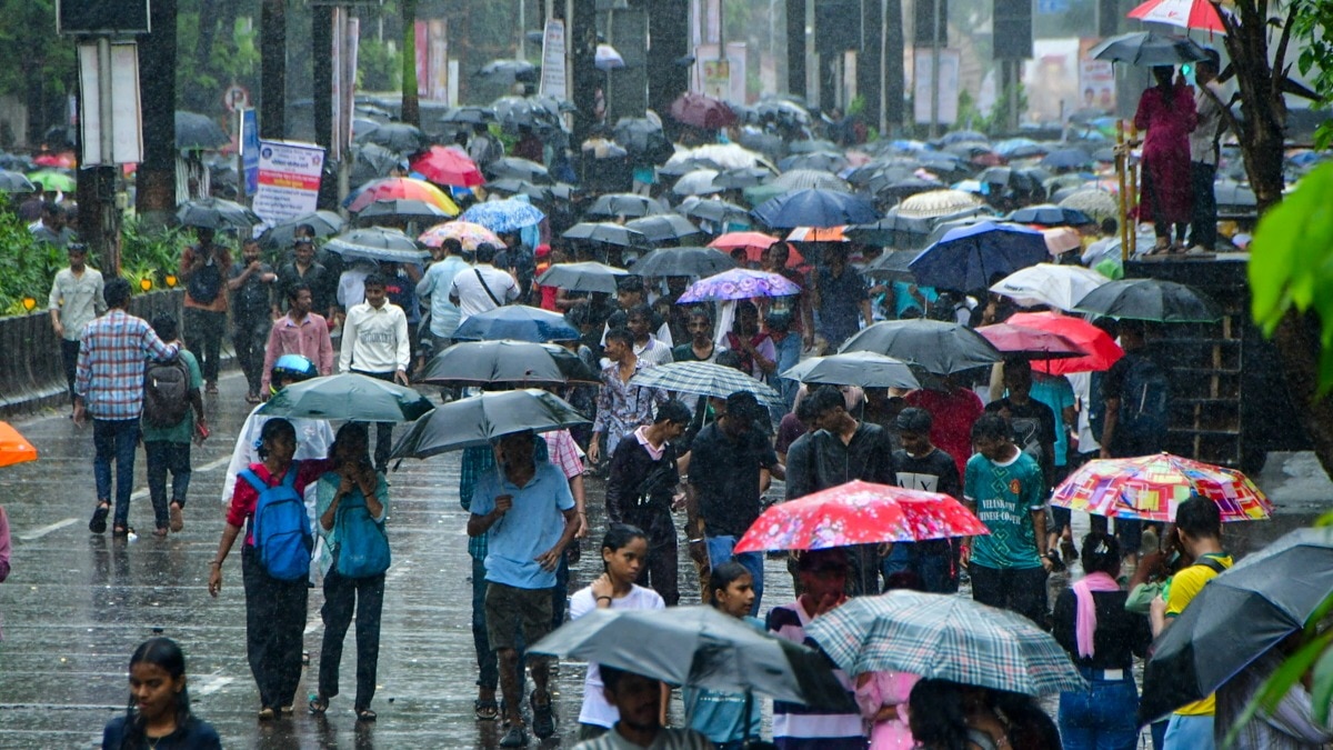
Heavy rainfall continues across the mountainous regions of Uttarakhand, with the Meteorological Department issuing a yellow alert for Bageshwar and Pithoragarh. A combination of the monsoon trough and a western disturbance is driving the intense weather patterns.
- Yellow alert issued for heavy rainfall in Bageshwar and Pithoragarh.
- Possibility of lightning and intense rain spells in hilly districts.
- Active monsoon trough and Western Disturbance are influencing the weather.
- Humid conditions and scattered showers expected in plains like Haridwar.
The weather pattern in Uttarakhand has shifted significantly as monsoon activity intensifies across the state. While the plains are experiencing a mix of sunshine and humidity, the mountainous regions are witnessing continuous spells of rain. The India Meteorological Department (IMD) has officially issued a yellow alert for the districts of Bageshwar and Pithoragarh, warning of heavy rainfall in isolated areas.
In addition to the rain, residents in the hilly terrains are advised to stay cautious of thunderstorms and lightning strikes. The forecast suggests that the intensity of the rainfall could escalate into heavy downpours accompanied by thunder. Meanwhile, in the plains, the intermittent sunshine is driving up temperatures, leading to uncomfortable levels of humidity for the local population.
Why This Matters
BozokMedia analysis shows that the convergence of a monsoon trough and a western disturbance often leads to unpredictable and high-intensity weather events in the Himalayan belt. For a state like Uttarakhand, such weather patterns significantly increase the risk of landslides and road blockages, impacting both local residents and the vital tourism industry.
The synergy between the monsoon trough and the western disturbance is creating a highly volatile atmospheric condition in the northern hills.
The meteorological drivers behind this surge are twofold. The monsoon trough is currently traversing its normal path, extending from Jaisalmer through central India to the Bay of Bengal. Simultaneously, a Western Disturbance active over northern Pakistan and the Jammu region is contributing to the moisture-laden winds affecting the state.
Historical Background
Uttarakhand has seen an increase in extreme weather events over the last decade. The shifting patterns of the monsoon and the increasing frequency of localized heavy rainfall episodes have made the state highly vulnerable to hydro-meteorological disasters, necessitating constant monitoring by state disaster management authorities.
Frequently Asked Questions
1. Which districts are under the highest alert?
Bageshwar and Pithoragarh are currently under a yellow alert for heavy rain.
2. Will there be rain in the plains?
Yes, Haridwar and Udham Singh Nagar may experience thunderstorms and scattered showers.