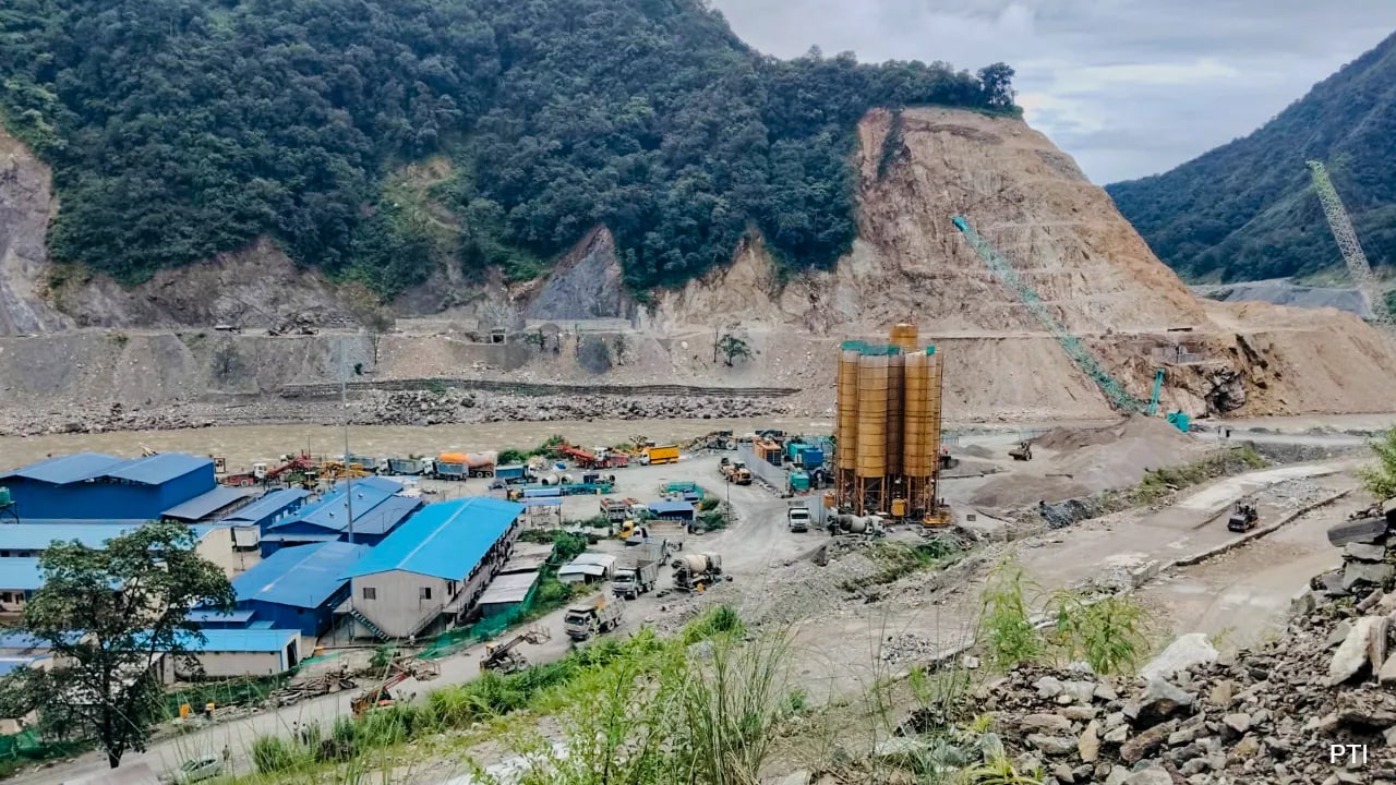
A devastating glacial collapse in Nepal's Rasuwa region has raised alarms over cascading Himalayan hazards. In response, India has identified 195 high-risk glacier lakes across several mountainous states.
- Glacial collapse in Nepal's Rasuwa triggered massive flooding.
- India identifies 195 vulnerable glacier lakes for monitoring.
- Advanced satellite and river gauge systems are being deployed.
A catastrophic flood triggered by a glacial collapse in the Rasuwa region of Nepal, situated near the Nepal-Tibet border, has starkly illustrated the escalating risks of cascading hazards within the Himalayan ecosystem. The event serves as a grim reminder of how a single high-altitude failure can trigger a domino effect of disasters across the fragile mountain range.
In light of the rising threat from Glacial Lake Outburst Floods (GLOF), India's National Disaster Management Authority (NDMA) has proactively identified 195 vulnerable glacier lakes. These high-risk sites are spread across critical states including Himachal Pradesh, Sikkim, Ladakh, Arunachal Pradesh, Jammu and Kashmir, and Uttarakhand.
Advanced Monitoring Infrastructure
To mitigate these risks, India employs a multi-layered technological approach. The Indian Space Research Organisation (ISRO) utilizes advanced satellites for remote sensing and precise terrain mapping. Complementing this, the Meteorological Department provides quantitative precipitation forecasts for river sub-basins, while the Central Water Commission (CWC) utilizes river gauges to provide critical flood warnings up to 24 hours in advance.
The failure of a single high-altitude ice structure can set off a catastrophic chain of events that devastates entire downstream ecosystems.
Why This Matters
BozokMedia analysis shows that the stability of the Himalayan region is increasingly compromised by rapid glacial melting. The Nepal disaster highlights significant gaps in monitoring high-altitude ice collapses, where the speed of the event often outpaces current early warning capabilities. Strengthening the integration of geospatial data from the National Remote Sensing Centre into emergency databases is now a national priority.
Historical Background: The Himalayas are home to thousands of glacial lakes formed by retreating ice. As global temperatures rise, these lakes expand and become unstable, leading to GLOFs—one of the most unpredictable and deadly natural hazards in high-altitude terrain.
Frequently Asked Questions
1. Which Indian states are most at risk from glacier lake outbursts?
The most vulnerable states include Himachal Pradesh, Uttarakhand, Sikkim, Arunachal Pradesh, Ladakh, and Jammu and Kashmir.
2. How does India monitor these glacial threats?
India uses a combination of ISRO satellite imagery, weather modeling from the Met Department, and river gauges from the CWC.