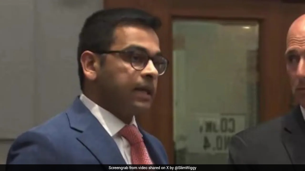
Bangladesh State Minister for Foreign Affairs Shama Obaed attended as chief guest, but India swiftly challenged the erroneous map presented, reaffirming Jammu & Kashmir as an integral part of the nation.
Key Takeaways
- India lodged a strong protest over a map error at a Bangladesh-hosted seminar.
- Jammu & Kashmir was reaffirmed as an integral part of India, raising diplomatic tension.
- The incident could impact future India‑Bangladesh relations.
During an international seminar in Dhaka, former Bangladesh High Commissioner to India Ahmed Tariq Karim displayed a map that incorrectly separated Jammu & Kashmir from India. The mistake triggered an immediate objection from New Delhi, highlighting the sensitivity surrounding the region’s status.
Historical Context
Since the 1947 Partition, Jammu & Kashmir has been a flashpoint between India and Pakistan. In August 2019, India abrogated Article 370, integrating the region fully as a Union Territory and reiterating its claim as an inseparable part of the nation. This move has since been reinforced in every diplomatic forum, making any deviation a matter of national sovereignty.
What Happened at the Seminar
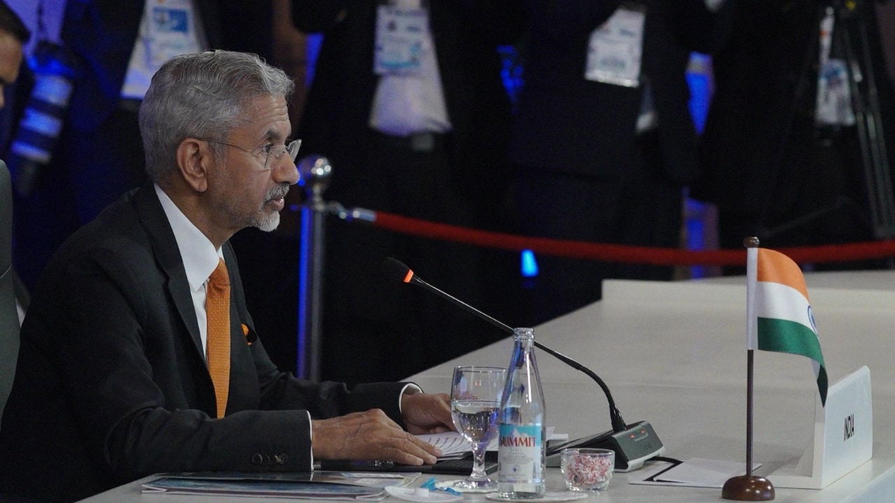
While presenting his slides, Karim asserted that “Jammu & Kashmir is separate from India,” a claim that directly contradicted India’s official stance. The Indian Ministry of External Affairs issued an urgent statement labeling the map “irresponsible” and “misleading,” emphasizing that such inaccuracies undermine India’s territorial integrity. Bangladesh State Minister for Foreign Affairs Shama Obaed, who was the chief guest, called for calm but could not quell the rising tension.
Potential Ramifications
India’s swift diplomatic pushback signals that even minor cartographic errors can spark significant bilateral strain. Bangladeshi academic and cultural bodies may now exercise heightened caution when dealing with geopolitically sensitive topics. Moreover, the episode could reverberate across trade, water‑sharing agreements, and border security dialogues between the two neighbors.
Analytical Perspective
In geopolitics, maps are more than visual tools—they are symbols of sovereignty and pride. India’s reaction underscores a broader strategy: any perceived challenge to its territorial claims will be met with decisive rebuttal, regardless of the forum. Small oversights can therefore cascade into larger diplomatic confrontations.