A joint US‑India NISAR mission has released striking radar imagery of Antarctica that resembles a hummingbird, and the L‑band and S‑band data are now openly accessible. Researchers can now track glacier dynamics, ecosystem changes, and natural hazards with unprecedented detail.
Key Takeaways
- The US‑India NISAR satellite captured a hummingbird‑shaped pattern in Antarctic ice.
- L‑band and S‑band radar data are now freely available to the public.
- The data will aid scientists in monitoring ice movement, ecosystem shifts, and natural disasters.
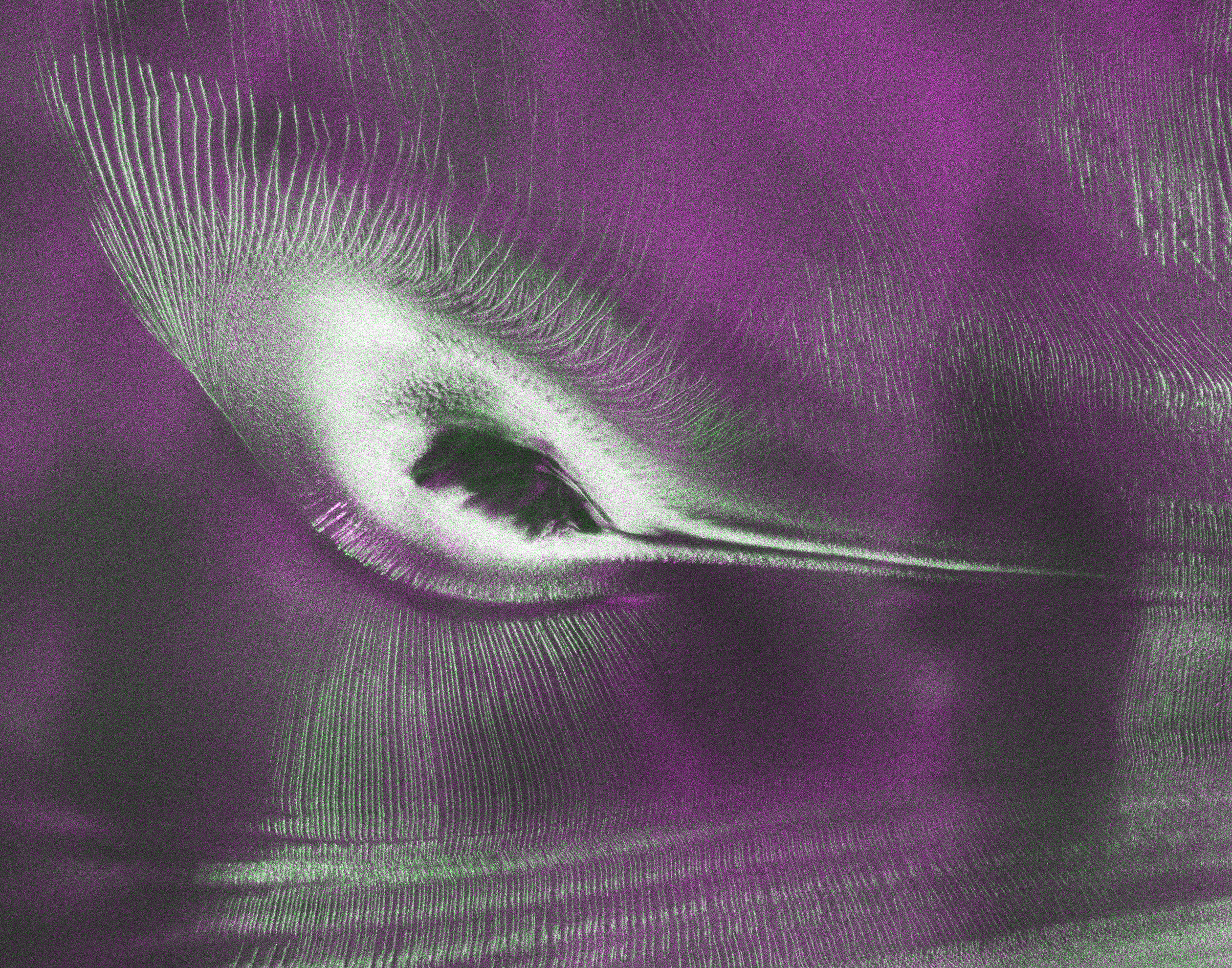
NASA and ISRO’s collaborative NISAR (NASA‑ISRO Synthetic Aperture Radar) mission opened its radar data to the world on July 20, releasing the first high‑resolution image of Nunatak Zaterjavshijsja in East Antarctica. The picture shows green‑colored crevasses surrounding a magenta‑tinted smooth ice surface, together forming a silhouette that strikingly resembles a hummingbird.
The L‑band radar collected in August 2025 generated this image by interpreting polarized microwave signals. Horizontal polarization, reflected from relatively smooth surfaces, appears magenta, while vertical polarization that penetrates or scatters off irregular features such as crevasses shows up green. This dual‑polarization view reveals subsurface details invisible to conventional optical sensors.
Historical Background
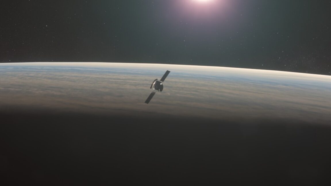
NISAR was launched on July 30, 2025, from India’s Satish Dhawan Space Centre, marking a milestone in US‑India space cooperation. Equipped with both L‑band and S‑band radars, the satellite can image forest canopies, urban grids, agricultural fields, landslides, earthquakes, and even sinking land in Mexico City. The mission revisits the entire land‑ and ice‑covered Earth every 12 days, delivering a continuous stream of data for climate, disaster response, and resource management.
“NISAR’s dual‑radar capability is set to revolutionize how we observe Earth’s changing landscape,” an expert noted.
Why This Matters (इसके मायने क्या हैं)
BozokMedia analysis shows that open access to this high‑resolution radar data empowers scientists, policymakers, and emergency responders to monitor glacier flow, sea‑level rise, and ice‑sheet stability in near‑real time. Enhanced climate models and risk assessments will lead to more accurate forecasts and better‑informed mitigation strategies.
Moreover, the public data platform strengthens the strategic partnership between the United States and India, fostering shared technological expertise and laying the groundwork for future joint missions that could tackle even more complex planetary challenges.
Frequently Asked Questions (अक्सर पूछे जाने वाले प्रश्न)
Q: How can I access NISAR data?
A: The data are freely downloadable from NASA’s Earthdata portal and ISRO’s Bhoonidhi portal.
Q: What scientific value does the “hummingbird” image provide?
A: It visualizes crevasse patterns and stress distribution within the glacier, offering insights into ice dynamics that optical images cannot reveal.