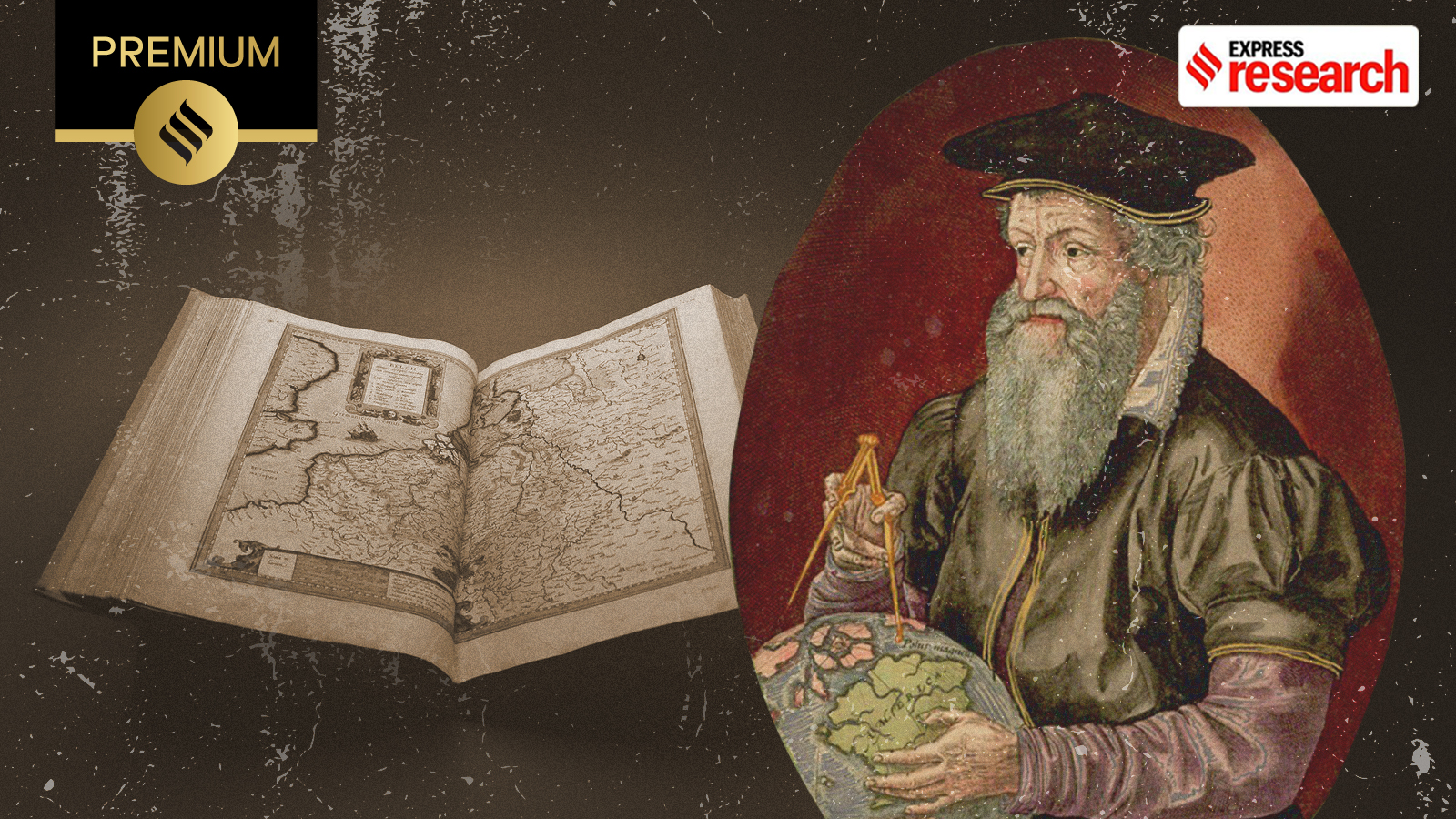
Flemish geographer Gerardus Mercator solved the ancient puzzle of representing a spherical earth on a flat map, creating a legacy that powers everything from 16th-century sailing to modern Google Maps.
- The Mercator projection solved the problem of representing a curved globe on a flat surface.
- It revolutionized navigation by converting complex 'rhumb lines' into straight lines.
- Mercator spent his entire life within a 200km radius of his birthplace.
In 1569, the world was fundamentally reshaped by the work of Gerardus Mercator. A Flemish geographer, Mercator introduced a projection that offered a definitive solution to a problem that had plagued cartographers since the dawn of geography: how to translate the curved surface of a sphere onto a flat chart. While today the UN General Assembly has debated replacing his map to better reflect the true size of Africa, the Mercator projection remains the bedrock of modern digital mapping, including Google Maps.
There is a profound irony in Mercator's legacy. As British historian Jerry Brotton notes, the man who provided the template for global exploration rarely left his home. Born in 1512 in Rupelmonde, a small town in modern-day Belgium, Mercator's travels never extended beyond a 200-kilometer radius from his birthplace. His mastery of the world was not born of experience, but of an obsession with mathematics, astronomy, and philosophy.
Why This Matters
BozokMedia analysis shows that Mercator's contribution was not merely artistic but deeply technical. By creating a map where 'rhumb lines'—arcs that cross all meridians at the same angle—appeared as straight lines, he gave mariners a tool for precision. A sailor could simply draw a straight line between two points and follow a constant compass heading, a breakthrough that made long-distance oceanic travel far safer and more predictable.
Mercator’s 1569 projection is perhaps the most influential map in history, yet it remains one of the most peculiar due to its inherent distortions.
Before his fame as a cartographer, Mercator was drawn to philosophy. However, recognizing the limited career prospects in that field, he pivoted to astronomy and mathematics in Antwerp. He also embraced the emerging technology of copperplate engraving, which allowed for much finer detail and mass production of maps compared to earlier woodcut methods.
His first independent success was a wall map of the Holy Land in 1538, designed for biblical study. This venture proved that there was a lucrative market for specialized maps. However, it was the 1569 world map—measuring over 2 meters in length—that cemented his place in history. He utilized a 'Conformal Projection,' adjusting the spacing of latitude lines as they moved away from the Equator to keep angles straight.
| Feature | Traditional Globe | Mercator Projection |
|---|---|---|
| Scale Accuracy | High (True to size) | Low (Distorted at poles) |
| Navigation | Complex (Curved paths) | Simple (Straight lines) |
| Modern Use | Education/Reference | Web Maps/Navigation |
Frequently Asked Questions
1. Why does Greenland look as large as Africa on a Mercator map?
Because the projection stretches landmasses as they move toward the poles to maintain correct angles for navigation, resulting in extreme size distortion.
2. Is the Mercator projection still useful today?
Yes, it is ideal for local navigation and web maps because it preserves shapes and angles, meaning a 90-degree turn on the map is a 90-degree turn in reality.