The Met Office has issued yellow thunderstorm warnings for Northern England, Northern Ireland, and Scotland. Following a two-month dry spell, heavy downpours could trigger flash flooding and power outages.
- Yellow thunderstorm warnings active for Northern England, Northern Ireland, and Eastern Scotland.
- Up to 50mm of rain expected within 6 hours in parts of Northern England.
- High risk of flash flooding due to compacted, water-repellent soil.
- Potential for transport delays and power cuts.
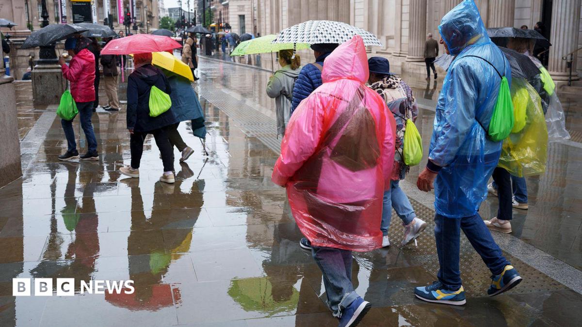
The United Kingdom is bracing for significant weather disruptions as the Met Office issued yellow thunderstorm warnings across several regions. Heavy showers, lightning, and hail are expected to impact Northern Ireland, parts of North East Scotland (including Aberdeen), and Northern England (including Manchester and Newcastle upon Tyne) through Wednesday and Thursday morning.
This sudden shift in weather follows nearly two months of intense dry weather. In places like Wisley, Surrey, a 62-day dry spell was only just broken. Meteorologists warn that the suddenness of the downpours, following such a prolonged period of heat and drought, poses a severe risk of flash flooding. Because the ground has become hard and compacted, it acts as a repellent to water, significantly increasing surface runoff.
Why This Matters
BozokMedia analysis shows that the transition from extreme drought to heavy thunderstorm activity is a hallmark of increasingly volatile weather patterns. The inability of parched landscapes to absorb sudden moisture creates a dangerous feedback loop of runoff and infrastructure strain.
The intensity of these storms, following record-breaking dry spells, necessitates immediate caution regarding urban drainage and travel safety.
The environmental context is stark. July 2026 was recorded as the driest July for England and Wales, with drought officials declaring 71.3% of England to be in a drought state. While the incoming rain offers a psychological reprieve, the Environment Agency emphasizes that 'sustained and significant rainfall' is required to actually replenish reservoirs and lift the hosepipe bans currently affecting over 20 million people.
Regional Rainfall Comparison
| Region | Expected Rainfall | Warning Duration |
|---|---|---|
| Northern England | Up to 50mm (6 hrs) | Until Thursday Morning |
| North East Scotland | Up to 30mm | Wednesday Afternoon |
| Northern Ireland | Up to 30mm | Wednesday Evening |
Temperatures are also set to undergo a significant shift. For the first time since late June, daytime maximums are expected to fall below 25°C (77°F) this Wednesday. This cooling trend is predicted to continue through Friday, marking a departure from the heatwaves that have characterized the summer of 2026.
Frequently Asked Questions
1. Will the rain lift the current hosepipe bans?
No, water companies state that prolonged, consistent rainfall is needed to restore water levels, not just isolated heavy showers.
2. What should I expect during the thunderstorm?
Expect lightning, hail, potential power cuts, and disruption to transport services in the warned areas.