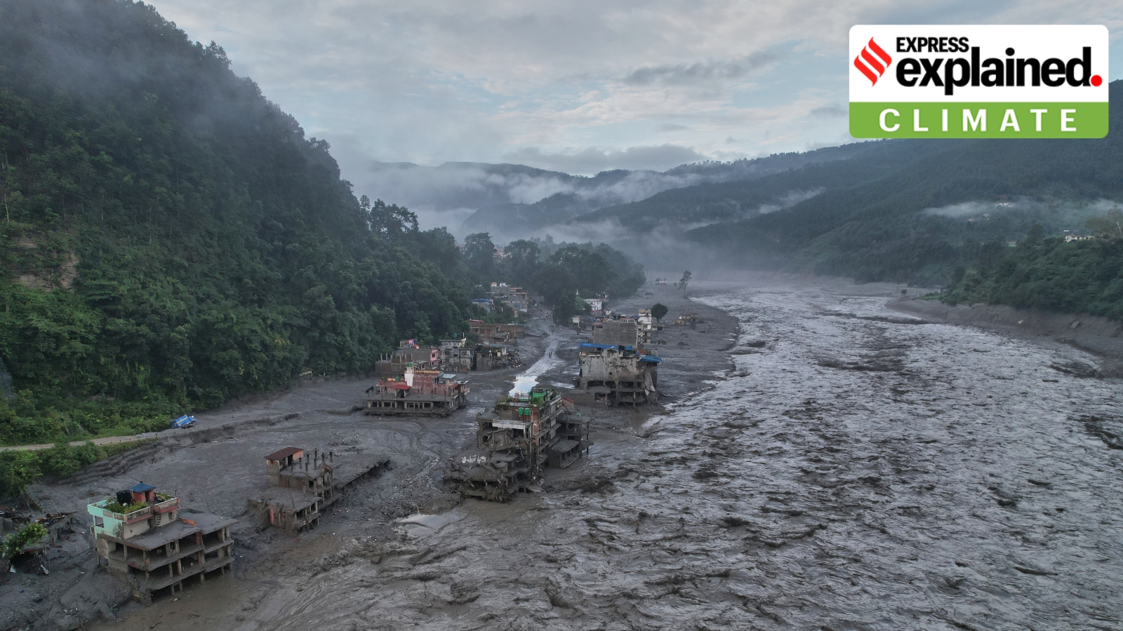
As global warming destabilizes the Himalayan range, expert Anshuman Bhardwaj warns that the region must move from reacting to disasters to a systematic approach of anticipation and preparedness to prevent mass casualties.
- Shift from 'reactive' to 'anticipatory' disaster management is critical for the Himalayas.
- Rock-ice avalanches create 'cascading hazards' that amplify destruction downstream.
- Satellite monitoring must be linked to site-specific action thresholds to be effective.
- Transboundary data sharing between India, Nepal, and China is essential for risk mitigation.
The recent devastating events in Nepal have served as a stark reminder of the fragility of the Himalayan ecosystem. Anshuman Bhardwaj, Head of Department of Planetary Sciences at the University of Aberdeen, emphasizes that the warming climate is destabilizing ice and rock across the range, making the need for a strategic shift in disaster management an urgent priority.
In a critical comparison published in Nature Sustainability, Bhardwaj highlights the disparity between the 2021 Chamoli disaster in India and a similar event in Blatten, Switzerland. While the Chamoli rock-ice avalanche resulted in over 200 deaths and massive infrastructure loss, the Blatten event saw only one casualty. The difference was not the scale of the disaster, but the level of preparedness and anticipatory action.
The Danger of Cascading Hazards
One of the most critical insights provided by Bhardwaj is the concept of "cascading hazards." He argues that a rock-ice avalanche should not be viewed as an isolated landslide. Instead, it can rapidly entrain water, sediment, and boulders, transforming into a highly destructive debris flow that travels kilometers downstream. This means that risk assessment cannot focus solely on the stability of a single slope but must analyze the entire hazard chain.
"Monitoring is useful only when it is connected to action; satellite observations must be linked to clear, site-specific thresholds and pre-agreed evacuation procedures."
Why This Matters
BozokMedia analysis shows that the Himalayan region is currently under-equipped for the scale of cryospheric hazards triggered by climate change. The reliance on post-disaster relief rather than pre-disaster mitigation creates a cycle of vulnerability. By implementing a staged approach—regional satellite screening followed by focused field monitoring—governments can identify "hotspots" of vulnerability before they turn into tragedies.
Furthermore, the transboundary nature of the Himalayas means that a failure in Tibet or Nepal can have catastrophic consequences for India. This necessitates a diplomatic and scientific framework for real-time data sharing and coordinated emergency communication across borders.
| Feature | Chamoli Event (India) | Blatten Event (Switzerland) |
|---|---|---|
| Response Type | Reactive | Anticipatory |
| Casualties | 200+ Deaths | 1 Casualty |
| Outcome | Massive Infrastructure Loss | Controlled Evacuation/Mitigation |
Frequently Asked Questions
Q1: Can satellites predict every landslide in the Himalayas?
No, they cannot predict every failure, but they can identify slopes showing progressive deformation, allowing experts to focus high-frequency monitoring on high-risk areas.
Q2: Why is 'process attribution' important after a disaster?
Accurately identifying whether a disaster was a landslide, a glacial lake outburst, or a rock-ice avalanche is crucial because each requires a different mitigation and monitoring strategy.